Pays de Savoie, Chambéry
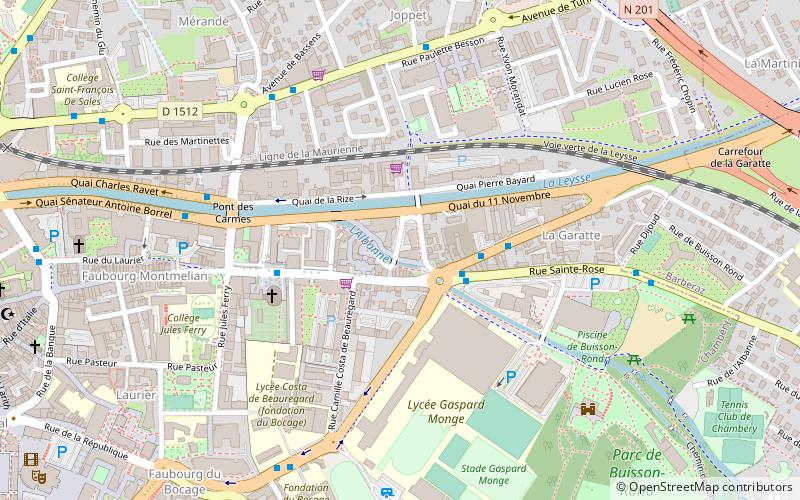
Map
Facts and practical information
Pays de Savoie, that means Counties of Savoy, is a term appeared in the early 1980s to name the two French departments of Savoie and Haute-Savoie as a whole entity. ()
Address
Chambéry
ContactAdd
Social media
Add
Getting there by public transportation
Public transportation stops near this location
- Bus
- Train
 Bus
Bus
- Calculate routeMonge 2 min walk
- Calculate routeGaratte 3 min walk
- Calculate routeMjc 4 min walk
- Calculate routeChambéry - Challes-les-Eaux 19 min walk
Day trips


Frequently Asked Questions (FAQ)
Which popular attractions are close to Pays de Savoie?
Nearby attractions include Médiathèque Jean-Jacques Rousseau, Chambéry (12 min walk), Fontaine des Éléphants, Chambéry (13 min walk), Pharmacie des Elephants, Chambéry (13 min walk), Chambéry Cathedral, Chambéry (13 min walk).
How to get to Pays de Savoie by public transport?
The nearest stations to Pays de Savoie:
Bus
Train
Bus
- Monge • Lines: 15, 5 (2 min walk)
- Garatte • Lines: 1 (3 min walk)
Train
- Chambéry - Challes-les-Eaux (19 min walk)