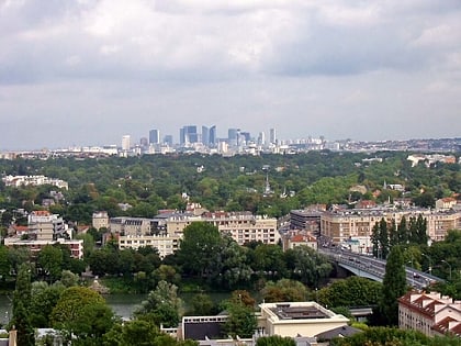
Arrondissement of Saint-Germain-en-Laye, Saint-Germain-en-Laye
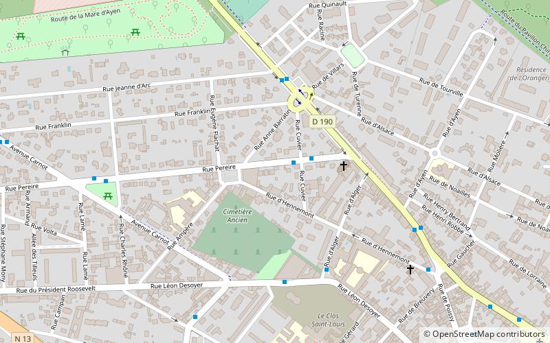
Map
Facts and practical information
The arrondissement of Saint-Germain-en-Laye is an arrondissement of France in the Yvelines department in the Île-de-France region. It has 44 communes. Its population is 518,220, and its area is 350.9 km2. ()
Address
Saint-Germain-en-Laye
ContactAdd
Social media
Add
Day trips
Arrondissement of Saint-Germain-en-Laye – popular in the area (distance from the attraction)
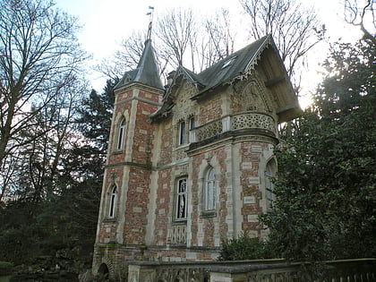
Nearby attractions include: National Archaeological Museum, Château de Saint-Germain-en-Laye, Château de Monte-Cristo, Musée Claude-Debussy.
Frequently Asked Questions (FAQ)
Which popular attractions are close to Arrondissement of Saint-Germain-en-Laye?
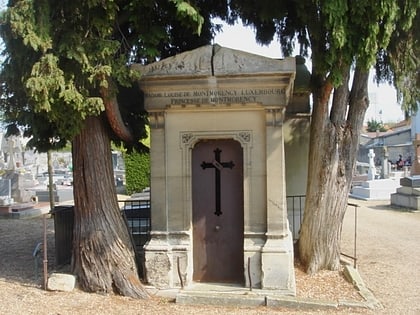
Nearby attractions include Cimetière Ancien, Saint-Germain-en-Laye (3 min walk), Musée Claude-Debussy, Saint-Germain-en-Laye (14 min walk), Allée couverte de Conflans, Saint-Germain-en-Laye (16 min walk), Château de Saint-Germain-en-Laye, Saint-Germain-en-Laye (17 min walk).
How to get to Arrondissement of Saint-Germain-en-Laye by public transport?
The nearest stations to Arrondissement of Saint-Germain-en-Laye:
Bus
Light rail
Train
Bus
- Mermoz • Lines: R2-Nord, R2-Sud, R4 (2 min walk)
- Place Vauban • Lines: 24, 3 (4 min walk)
Light rail
- Saint-Germain Grande Ceinture (13 min walk)
- Saint-Germain-en-Laye - Bel Air - Fourqueux (21 min walk)
Train
- Saint-Germain-en-Laye (15 min walk)

