Saint-Ferjeux, Besançon

Gallery (1)
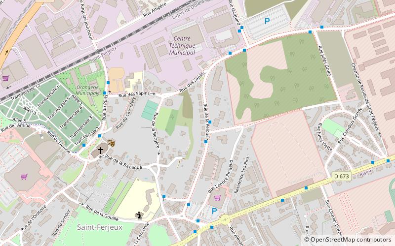
Map
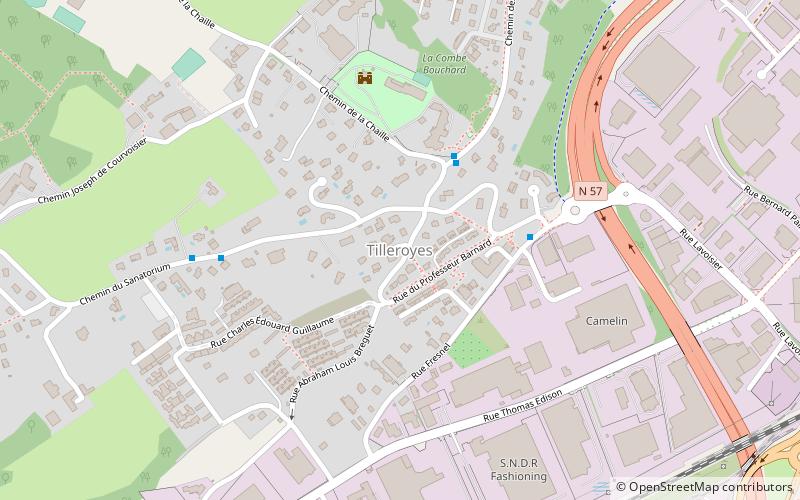
Map
Facts and practical information
Saint-Ferjeux is a district of Besançon located to the west of the city ()
Address
Saint-Ferjeux - Rosemont (Saint-Ferjeux)Besançon
ContactAdd
Social media
Add
Getting there by public transportation
Public transportation stops near this location
- Bus
- Tram
 Bus
Bus
- Calculate routePelouse 1 min walk
- Calculate routeMeslier 5 min walk
- Calculate routeAteliers Municipaux 5 min walk
- Calculate routeSapins 6 min walk
- Calculate routeRosemont 16 min walk
- Calculate routeBrûlard 18 min walk
- Calculate routePolygone 22 min walk
- Calculate routeMalcombe 24 min walk
Day trips


Frequently Asked Questions (FAQ)
Which popular attractions are close to Saint-Ferjeux?
Nearby attractions include Basilica of Saint-Ferjeux, Besançon (6 min walk), Haras National de Besançon, Besançon (18 min walk), La Butte, Besançon (22 min walk), Fort of Rosemont, Besançon (23 min walk).
How to get to Saint-Ferjeux by public transport?
The nearest stations to Saint-Ferjeux:
Bus
Tram
Bus
- Pelouse • Lines: 10 (1 min walk)
- Meslier • Lines: 10 (5 min walk)
Tram
- Rosemont • Lines: T1, T2 (16 min walk)
- Brûlard • Lines: T1, T2 (18 min walk)