Phare de la Hève, Le Havre
Map
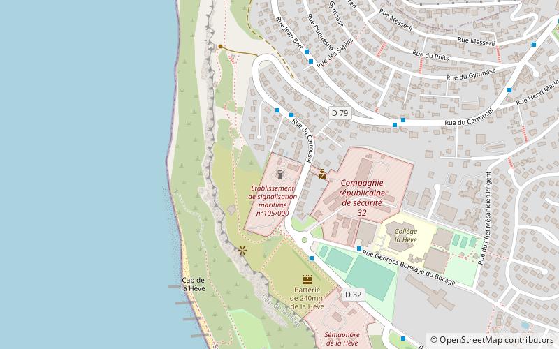
Map

Facts and practical information
The Hève lighthouse stands on the high chalky cliffs of the northern Seine estuary, on the Cape of Hève, in the commune of Sainte-Adresse. The current building, designed by Henri Colboc, was put into service in 1951; a staircase of 161 steps leads to its lantern. It culminates at 102 meters above sea level. The lighthouse has been registered as a historical monument since November 24, 2010. It can not be visited.
Coordinates: 49°30'45"N, 0°4'9"E
Address
Le Havre
ContactAdd
Social media
Add
Day trips
Phare de la Hève – popular in the area (distance from the attraction)
Nearby attractions include: MuMa Le Havre, Maison de l'Armateur, Les Bains des Docks, Stade Océane.
Frequently Asked Questions (FAQ)
How to get to Phare de la Hève by public transport?
The nearest stations to Phare de la Hève:
Bus
Bus
- Carrousel • Lines: 1 (3 min walk)
- Collège de la Hève • Lines: 1 (4 min walk)


