Aiguille d'Entrèves, Mont Blanc
Map

Map

Facts and practical information
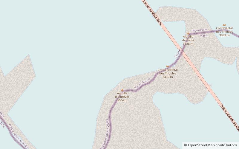
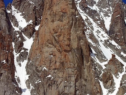
The Aiguilles d'Entrèves is a mountain peak in the Mont Blanc massif of the Alps. It is situated at the head of the Glacier du Géant, and its rocky summit ridge forms part of the frontier between France and Italy. It lies east of the Tour Ronde, between the Col d'Entrèves and the Col Occidental de Toule. It has a steep, sound face of red granite and can be readily accessed from the Torino Hut/Pointe Helbronner. ()
Elevation: 11811 ftCoordinates: 45°50'44"N, 6°55'1"E
Address
Mont Blanc
ContactAdd
Social media
Add
Day trips
Aiguille d'Entrèves – popular in the area (distance from the attraction)
Nearby attractions include: Tour Ronde, Grand Capucin, Aiguilles du Diable, Aiguille de Toula.
Frequently Asked Questions (FAQ)
Which popular attractions are close to Aiguille d'Entrèves?
Nearby attractions include Aiguille de Toula, Mont Blanc (8 min walk), Le Grand Flambeau, Mont Blanc (15 min walk).


