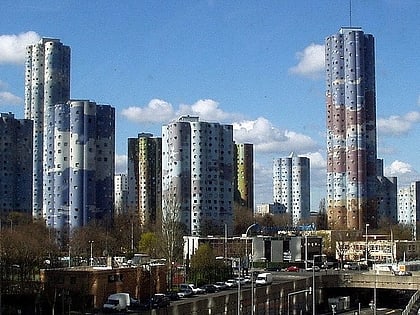
Nanterre, Paris
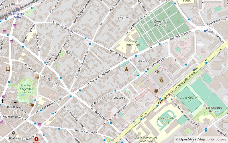
Map
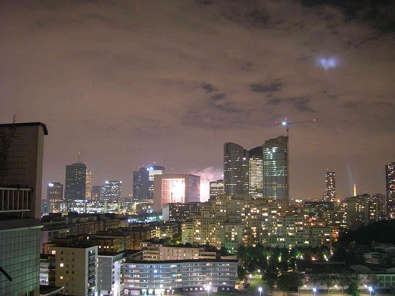
Gallery
Facts and practical information
Nanterre is the prefecture of the Hauts-de-Seine department in the western suburbs of Paris. It is located some 11 km northwest of the centre of Paris. In 2018, the commune had a population of 96,807. ()
Day trips
Nanterre – popular in the area (distance from the attraction)
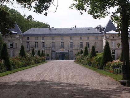
Nearby attractions include: U Arena, Tours Société Générale, Théâtre Nanterre-Amandiers, Nanterre Cathedral.
Frequently Asked Questions (FAQ)
Which popular attractions are close to Nanterre?
Nearby attractions include Nanterre Cathedral, Paris (10 min walk), Théâtre Nanterre-Amandiers, Paris (13 min walk).
How to get to Nanterre by public transport?
The nearest stations to Nanterre:
Bus
Train
Tram
Bus
- Rue des Amandiers • Lines: 559c (2 min walk)
- Victor Hugo - Mairie • Lines: 159 (4 min walk)
Train
- Nanterre Ville (10 min walk)
- Nanterre - Université (19 min walk)
Tram
- Belvédère • Lines: T2 (39 min walk)

 Metro
Metro