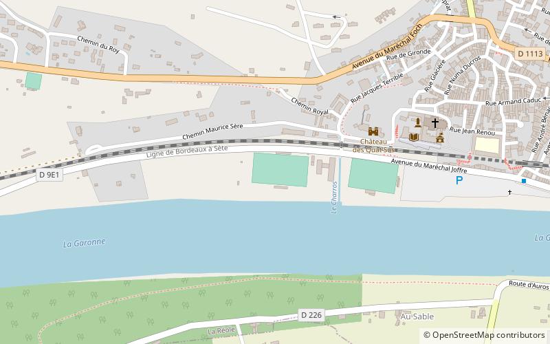
Stade Municipal La Reole, La Réole

Map
Facts and practical information
The Stade Municipal La Reole is a rugby ground in La Reole, France. It is currently used by La Reole XIII in the French Elite One Championship The ground currently has a capacity of 2,000. Situated on the waterfront the ground has one stand which seats 100 with the rest of the pitch surrounded by a perimeter fence for standing spectators. ()
Coordinates: 44°34'49"N, 0°2'47"W
Address
La Réole
ContactAdd
Social media
Add
Day trips
Stade Municipal La Reole – popular in the area (distance from the attraction)
Nearby attractions include: Château du Hamel, Château des Quat'Sos, Canal Latéral de la Garonne, St. Peter's Church.
Frequently Asked Questions (FAQ)
Which popular attractions are close to Stade Municipal La Reole?
Nearby attractions include Château des Quat'Sos, La Réole (4 min walk), St. Peter's Church, La Réole (7 min walk).


