Les Brotteaux, Lyon
Map
Facts and practical information
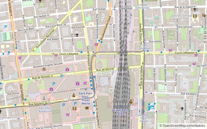
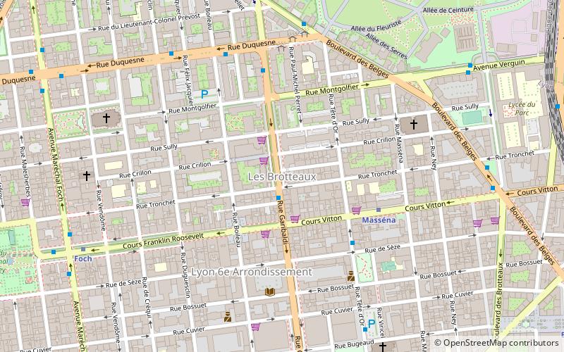
Brotteaux is a neighborhood in the 6th arrondissement of Lyon. It is situated between the Rhône and the track railway which leads to the Gare de la Part-Dieu. The urbanization of this area began in the late eighteenth century under the leadership of architect and urban planner Jean-Antoine Morand Jouffrey. The area is sometimes called Morand quarter. ()
Address
Arrondissement 6E (Marechal Lyautey - Vitton)Lyon
ContactAdd
Social media
Add
Day trips
Les Brotteaux – popular in the area (distance from the attraction)
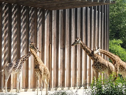
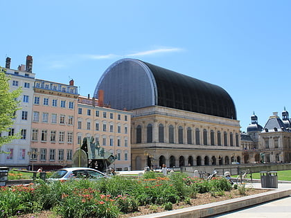
Nearby attractions include: Parc de la Tête d'Or, Lyon Part-Dieu, Lyon Zoo, Opéra de Lyon.
Frequently Asked Questions (FAQ)
Which popular attractions are close to Les Brotteaux?
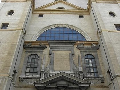
Nearby attractions include Rue Tronchet, Lyon (1 min walk), Boulevard des Belges, Lyon (6 min walk), 6th arrondissement of Lyon, Lyon (8 min walk), Église Saint-Pothin, Lyon (10 min walk).
How to get to Les Brotteaux by public transport?
The nearest stations to Les Brotteaux:
Bus
Metro
Trolleybus
Tram
Train
Ferry
Bus
- Garibaldi - Tronchet • Lines: 38 (1 min walk)
- Mairie du 6e • Lines: 38 (4 min walk)
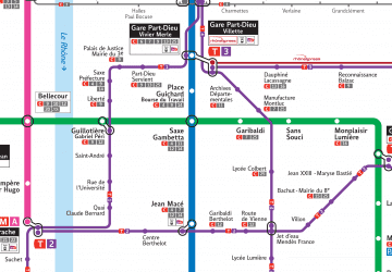
Metro
- Masséna • Lines: A (4 min walk)
- Foch • Lines: A (8 min walk)
Trolleybus
- Parc Tête d'Or - Duquesne • Lines: C1 (6 min walk)
- Vitton - Belges • Lines: C1 (8 min walk)
Tram
- Collège Bellecombe • Lines: T1, T4 (16 min walk)
- Charpennes - Charles Hernu • Lines: T1, T4 (16 min walk)
Train
- Lyon Part-Dieu (21 min walk)
- Lyon-Saint-Paul (30 min walk)
Ferry
- Saint-Paul - Hôtel de Ville • Lines: Vaporetto (28 min walk)
- Bellecour • Lines: Vaporetto (32 min walk)
 Metro
Metro

