Orly, Paris

Gallery (2)
Map

Map
Gallery
Facts and practical information
Orly is a commune in the southern suburbs of Paris, Île-de-France. It is located 12.7 km from the center of Paris. ()
Address
Orly (Veil Orly-Centre Ville)Paris
ContactAdd
Social media
Add
Getting there by public transportation
Public transportation stops near this location
- Bus
- Tram
- Light rail
- Train
 Bus
Bus
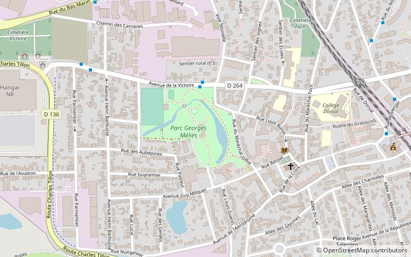
- Calculate routeParc Méliès 3 min walk
- Calculate routeCimetière Paysager 7 min walk
- Calculate routeRue du Puits Dixme 9 min walk
- Calculate routeMairie d'Orly 9 min walk
- Calculate routeOrly Ville 13 min walk
- Calculate routePont de Rungis Aéroport d'Orly 25 min walk
- Calculate routeLes Saules 29 min walk
- Calculate routeOrly - Gaston Viens 19 min walk
- Calculate routeCaroline Aigle 28 min walk
- Calculate routeLes Saules 29 min walk
- Calculate routeFour - Peary 30 min walk
- Calculate routeOrly 4 37 min walk
Maps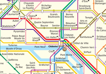 Metro
Metro
MetroDay trips


Frequently Asked Questions (FAQ)
How to get to Orly by public transport?
The nearest stations to Orly:
Bus
Train
Tram
Light rail
Bus
- Parc Méliès • Lines: 183, 482, N31 (3 min walk)
- Cimetière Paysager • Lines: 183, 482, N31 (7 min walk)
Train
- Orly Ville (13 min walk)
- Pont de Rungis Aéroport d'Orly (25 min walk)
Tram
- Orly - Gaston Viens • Lines: T9 (19 min walk)
- Caroline Aigle • Lines: T7 (28 min walk)
Light rail
- Orly 4 (37 min walk)