Avenue d'Iéna, Paris
Map
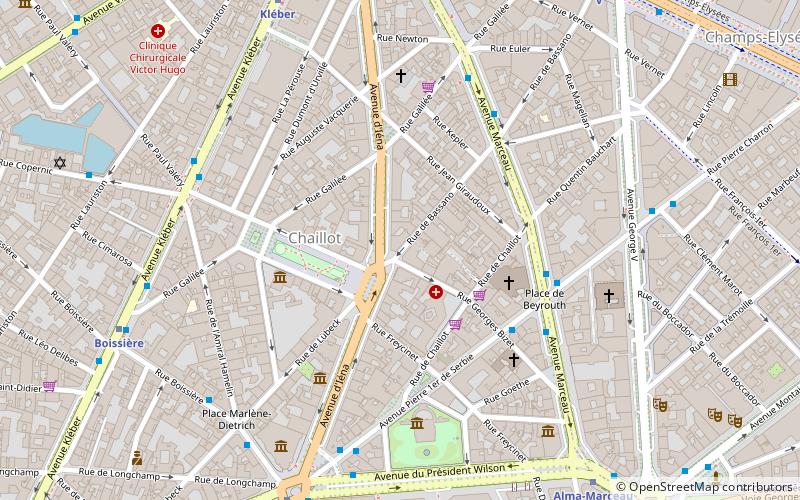
Map

Facts and practical information
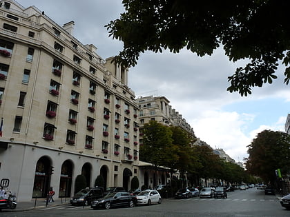
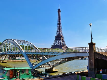
The Avenue d'Iéna is a tree-lined avenue in the 16th arrondissement of Paris, running from the Trocadéro to the Place de l'Étoile. Passing through Place d'Iéna, Place de l'Amiral de Grasse, Place de l'Uruguay and Place Richard de Coudenhove Kalergi on the way. It is named from the neighbouring bridge across the Seine, the Pont d'Iéna. It has a length of 1,150 metres and an average width of 35 metres. ()
Address
Passy (Chaillot)Paris
ContactAdd
Social media
Add
Day trips
Avenue d'Iéna – popular in the area (distance from the attraction)
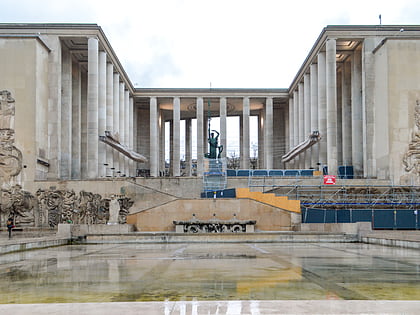
Nearby attractions include: Musée d'Art Moderne de la Ville de Paris, Musée Guimet, American Center for Art and Culture, Avenue George V.
Frequently Asked Questions (FAQ)
Which popular attractions are close to Avenue d'Iéna?
Nearby attractions include Place des États-Unis, Paris (3 min walk), Saint-Pierre-de-Chaillot, Paris (3 min walk), Musée Baccarat, Paris (4 min walk), Avenue Pierre 1er de Serbie, Paris (4 min walk).
How to get to Avenue d'Iéna by public transport?
The nearest stations to Avenue d'Iéna:
Bus
Metro
Train
Ferry
Bus
- Marceau - Pierre 1er de Serbie - Place de Beyrouth • Lines: 32, 92 (4 min walk)
- Bassano • Lines: 92 (5 min walk)
Metro
- Kléber • Lines: 6 (7 min walk)
- Iéna • Lines: 9 (7 min walk)
Train
- Charles de Gaulle-Étoile (11 min walk)
- Charles de Gaulle — Étoile (11 min walk)
Ferry
- Tour-Eiffel • Lines: Batobus (15 min walk)
- Port des Champs-Elysées • Lines: Batobus (24 min walk)
 Metro
Metro


