Pantin, Paris
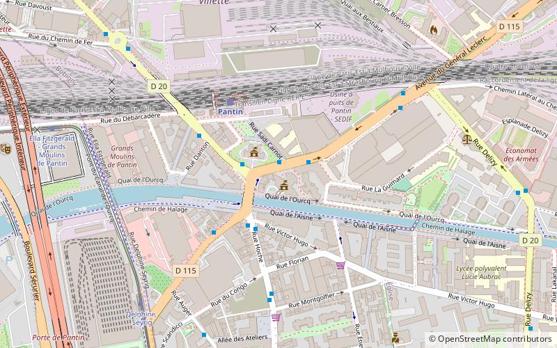
Map
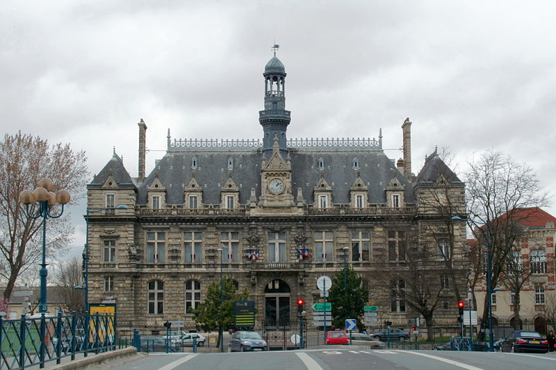
Gallery
Facts and practical information
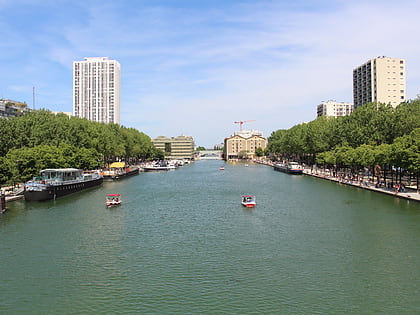
Pantin is a commune in the northeastern suburbs of Paris, France. It is located 6.4 km from the centre of Paris. In 2019 its population was estimated to be 59,846. Pantin is located on the edge of the city of Paris and is mainly formed by a plain crossed by national roadway 2 and 3, the Paris–Strasbourg railway line and the canal de l'Ourcq. ()
Day trips
Pantin – popular in the area (distance from the attraction)
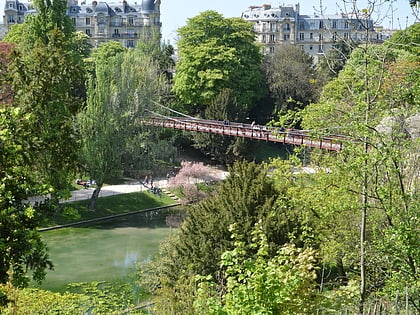
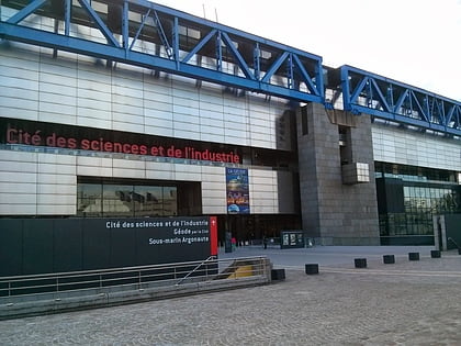
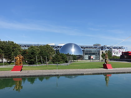
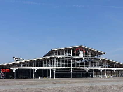
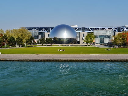
Nearby attractions include: Parc des Buttes Chaumont, Trabendo, Cité des Sciences et de l'Industrie, Parc de la Villette.
Frequently Asked Questions (FAQ)
Which popular attractions are close to Pantin?
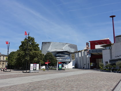
Nearby attractions include Zénith Paris, Paris (11 min walk), Philharmonie de Paris, Paris (13 min walk), French submarine Argonaute, Paris (15 min walk), Parc de la Villette, Paris (16 min walk).
How to get to Pantin by public transport?
The nearest stations to Pantin:
Bus
Train
Tram
Metro
Bus
- Pantin RER - Mairie • Lines: 151, 170, 249, 330, N13, N140, N41 (2 min walk)
- Centre National de la Danse • Lines: 151, 170, 330, N13, N41 (3 min walk)
Train
- Pantin (4 min walk)
Tram
- Delphine Seyrig • Lines: T3b (7 min walk)
- Ella Fitzgerald - Grands Moulins de Pantin • Lines: T3b (9 min walk)
Metro
- Hoche • Lines: 5 (10 min walk)
- Église de Pantin • Lines: 5 (15 min walk)

 Metro
Metro