Boulevard Malesherbes, Paris
Map
Gallery
Facts and practical information
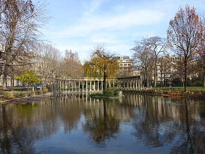
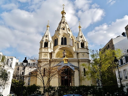
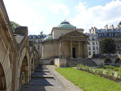
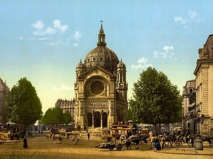
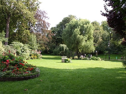
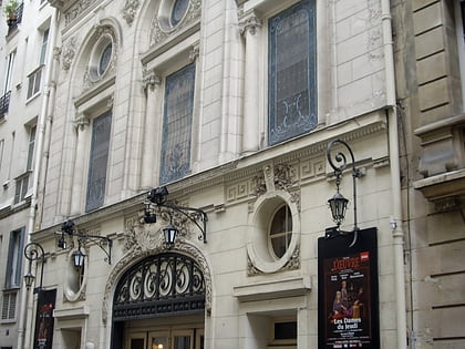
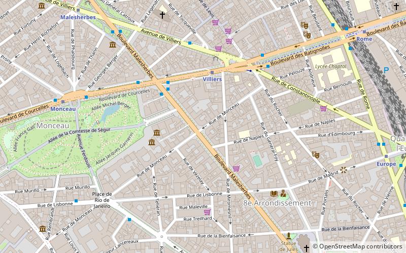
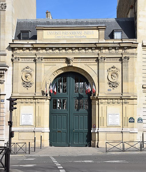
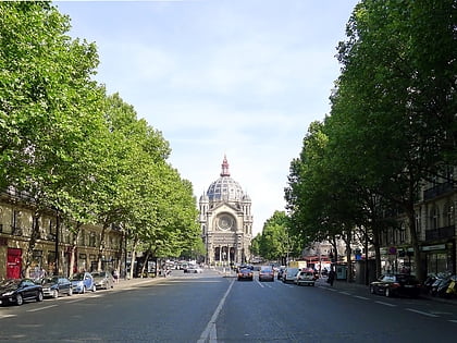
Boulevard Malesherbes is a boulevard in central Paris, France, running northwest between the Church of the Madeleine in the 8th arrondissement, and the Porte d'Asnières in the 17th arrondissement. It is one of the streets created during the renovations of Paris undertaken by the Prefect of the Seine, Georges-Eugene Haussmann, in the 1850s and 1860s. ()
Address
Élysée (L'Europe)Paris
ContactAdd
Social media
Add
Day trips
Boulevard Malesherbes – popular in the area (distance from the attraction)
Nearby attractions include: Boulevard Haussmann, Musée Jacquemart-André, Cité de l'économie et de la monnaie, Musée Cernuschi.
Frequently Asked Questions (FAQ)
Which popular attractions are close to Boulevard Malesherbes?
Nearby attractions include Musée Cernuschi, Paris (3 min walk), Brame & Lorenceau Gallery, Paris (3 min walk), Musée Nissim de Camondo, Paris (3 min walk), Errancis Cemetery, Paris (4 min walk).
How to get to Boulevard Malesherbes by public transport?
The nearest stations to Boulevard Malesherbes:
Metro
Bus
Train
Tram
Ferry
Metro
- Villiers • Lines: 2, 3 (3 min walk)
- Monceau • Lines: 2 (7 min walk)
Bus
- Malesherbes - Courcelles • Lines: 20, 30, 93 (4 min walk)
- Villiers • Lines: 30, N16, N52 (5 min walk)
Train
- Gare Saint-Lazare (14 min walk)
- Pont Cardinet (15 min walk)
Tram
- Porte d'Asnières-Marguerite Long • Lines: T3b (23 min walk)
- Porte de Clichy • Lines: T3b (27 min walk)
Ferry
- Port des Champs-Elysées • Lines: Batobus (28 min walk)
 Metro
Metro
