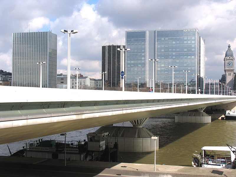
Pont Charles-de-Gaulle, Paris

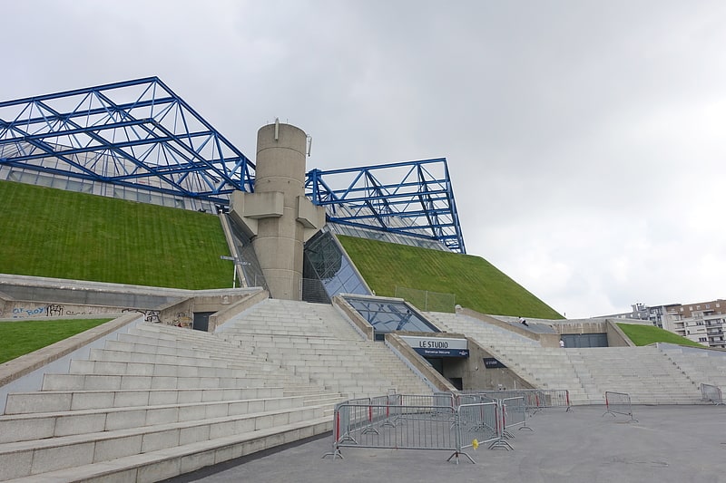
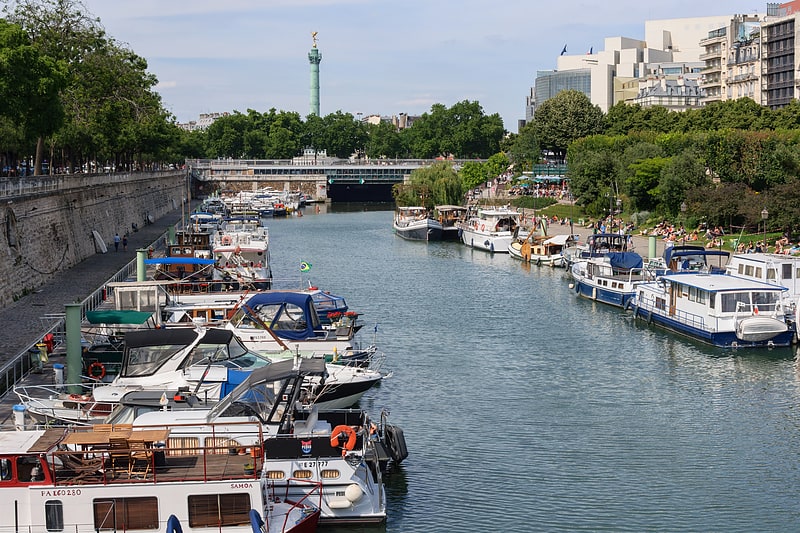
Gallery (2)
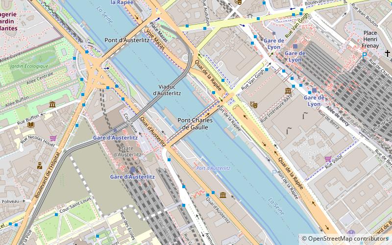
Map
Map
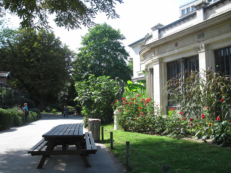
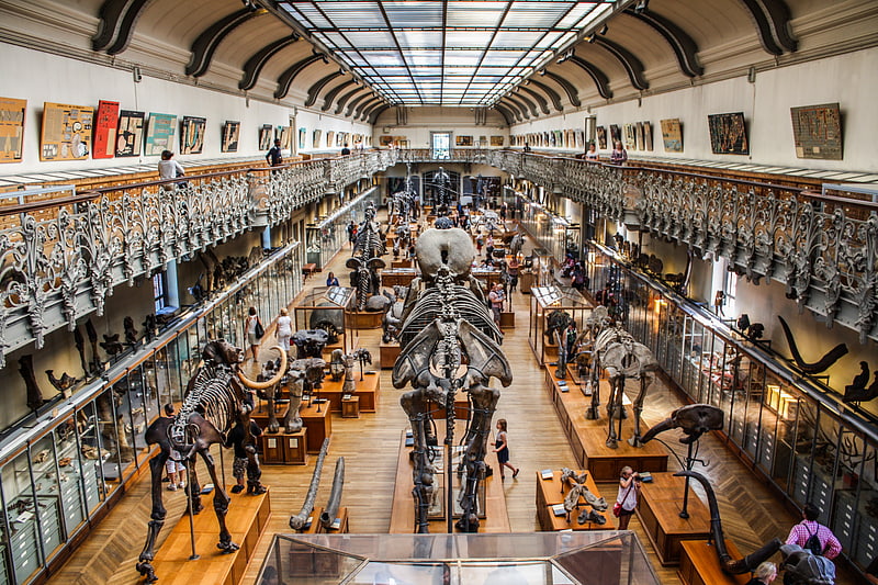
Gallery
Facts and practical information
The Pont Charles-de-Gaulle is a steel-reinforced concrete girder bridge straddling the river Seine in the eastern part of Paris. It is a one-way bridge carrying road traffic from the 13th arrondissement to the 12th arrondissement. Another one-way bridge further downstream, Pont d'Austerlitz, carries traffic in the opposite direction. ()
Address
13th arrondissement of ParisGobelins (Salpêtrière)Paris
ContactAdd
Social media
Add
Getting there by public transportation
Public transportation stops near this location
- Metro
- Bus
- Tram
- Train
- Ferry
 Metro
Metro
- Calculate routePont Charles de Gaulle 3 min walk
- Calculate routeGare d'Austerlitz 3 min walk
- Calculate routeCité de la Mode et du Design 4 min walk
- Calculate routeVan Gogh 5 min walk
- Calculate routeGare d'Austerlitz 5 min walk
- Calculate routeGare de Lyon 7 min walk
- Calculate routeParis-Bercy - Bourgogne-Pays d'Auvergne 17 min walk
- Calculate routeBibliothèque François Mitterrand 25 min walk
- Calculate routeGare d'Austerlitz 5 min walk
- Calculate routeGare de Lyon 6 min walk
- Calculate routeQuai de la Rapée 8 min walk
- Calculate routeQuai de la Gare 11 min walk
- Calculate routeJardin des Plantes 11 min walk
- Calculate routeNotre-Dame 28 min walk
- Calculate routeHôtel-de-Ville 28 min walk
- Calculate routeAvenue de France 34 min walk
- Calculate routeBaron Le Roy 36 min walk
Maps Metro
Metro
MetroDay trips


Frequently Asked Questions (FAQ)
Which popular attractions are close to Pont Charles-de-Gaulle?
Nearby attractions include Viaduc d'Austerlitz, Paris (3 min walk), Port d'Austerlitz, Paris (3 min walk), Louise-Catherine, Paris (3 min walk), Port de la Rapée, Paris (4 min walk).
How to get to Pont Charles-de-Gaulle by public transport?
The nearest stations to Pont Charles-de-Gaulle:
Bus
Train
Metro
Ferry
Tram
Bus
- Pont Charles de Gaulle • Lines: 72 (3 min walk)
- Gare d'Austerlitz • Lines: N131, N133 (3 min walk)
Train
- Gare d'Austerlitz (5 min walk)
- Gare de Lyon (7 min walk)
Metro
- Gare d'Austerlitz • Lines: 10, 5 (5 min walk)
- Gare de Lyon • Lines: 1, 14 (6 min walk)
Ferry
- Jardin des Plantes • Lines: Batobus (11 min walk)
- Notre-Dame • Lines: Batobus (28 min walk)
Tram
- Avenue de France • Lines: T3a (34 min walk)
- Baron Le Roy • Lines: T3a (36 min walk)