Pont de Grenelle, Paris
Map
Gallery
Facts and practical information
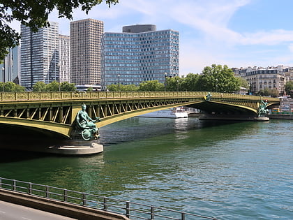
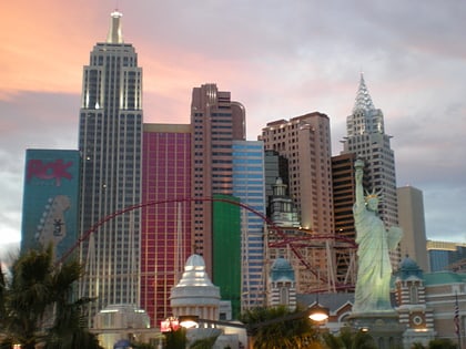
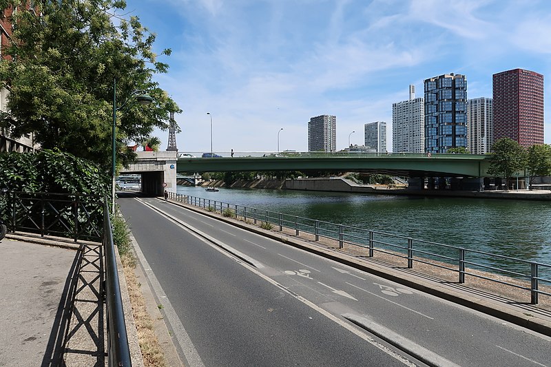
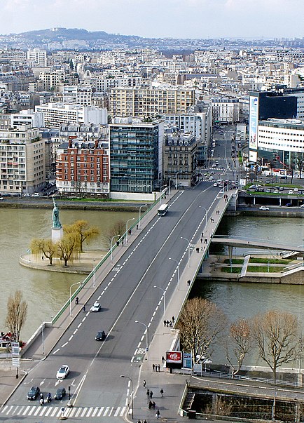
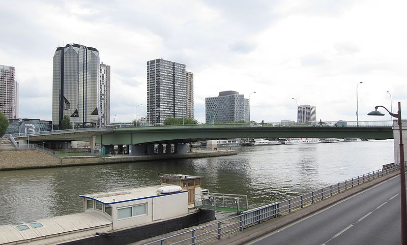
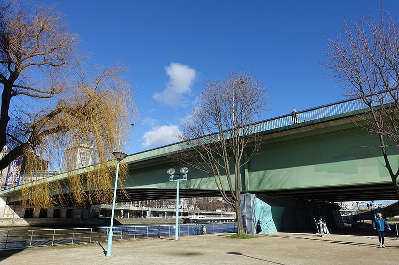
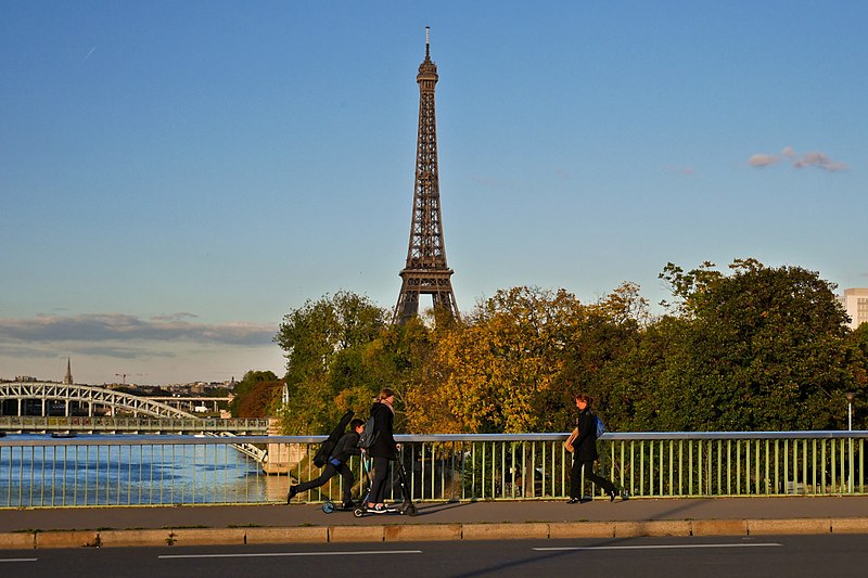
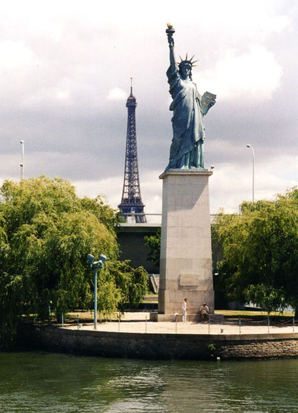
The Pont de Grenelle-Cadets de Saumur, formerly known as Pont de Grenelle is a bridge that crosses the Seine River in Paris, France. It connects the city's 15th and 16th arrondissements, and passes through the Île aux Cygnes. Constructed of steel, it is a girder bridge. The current bridge was constructed in 1966, replacing an earlier bridge that had stood since 1873. The bridge passes behind a replica of the Statue of Liberty. ()
Day trips
Pont de Grenelle – popular in the area (distance from the attraction)
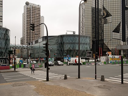
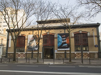
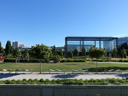
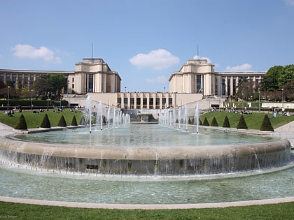
Nearby attractions include: Beaugrenelle Paris shopping mall, Pont d'Iéna, Pavillon de l'eau, Parc André Citroën.
Frequently Asked Questions (FAQ)
Which popular attractions are close to Pont de Grenelle?
Nearby attractions include Statue de la Liberté, Paris (1 min walk), Pont Rouelle, Paris (6 min walk), Cheminée du Front de Seine, Paris (7 min walk), Front de Seine, Paris (8 min walk).
How to get to Pont de Grenelle by public transport?
The nearest stations to Pont de Grenelle:
Ferry
Bus
Train
Metro
Tram
Ferry
- Beaugrenelle • Lines: Batobus (2 min walk)
- Tour-Eiffel • Lines: Batobus (23 min walk)
Bus
- Pont de Grenelle - Maurice Bourdet • Lines: 70, N12, N61 (2 min walk)
- Radio France - Pont de Grenelle • Lines: 72, N12, N61 (3 min walk)
Train
- Avenue du Président Kennedy (6 min walk)
- Javel (8 min walk)
Metro
- Javel - André Citroën • Lines: 10 (8 min walk)
- Charles Michels • Lines: 10 (10 min walk)
Tram
- Pont du Garigliano • Lines: T3a (24 min walk)
- Balard • Lines: T3a (26 min walk)


 Metro
Metro