Italie 13, Paris
Map

Gallery
Facts and practical information
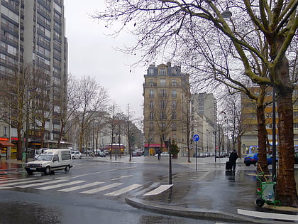
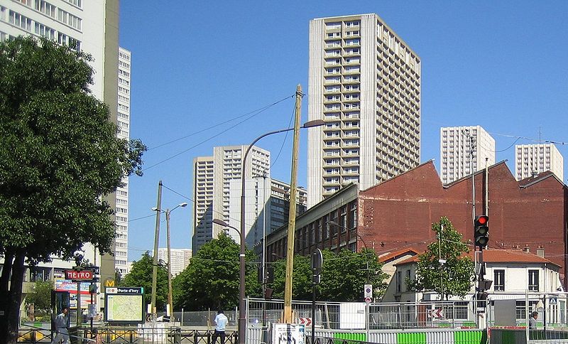
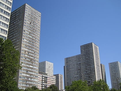
Italie 13 is the name of a large urbanism project in Paris which started in the 1960s and was interrupted in the 1970s. Its purpose was to profoundly modify the structure of some areas of the 13th arrondissement, mainly around the Avenue d'Italie which inspired its name. The partially completed project led to the creation of numerous towers in the south of the arrondissement, notably Les Olympiades. ()
Address
30 Avenue d'ItalieGobelins (Maison Blanche)Paris
Contact
+33 1 45 80 72 00
Social media
Add
Day trips
Italie 13 – popular in the area (distance from the attraction)
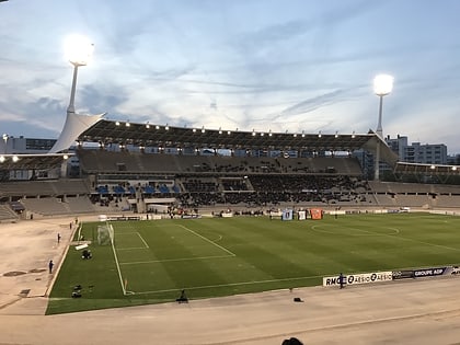
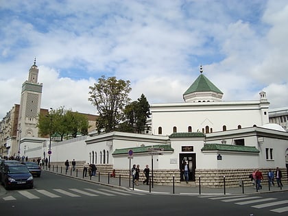
Nearby attractions include: Jardin des Plantes, National Museum of Natural History, Stade Charléty, Grand Mosque of Paris.
Frequently Asked Questions (FAQ)
Which popular attractions are close to Italie 13?
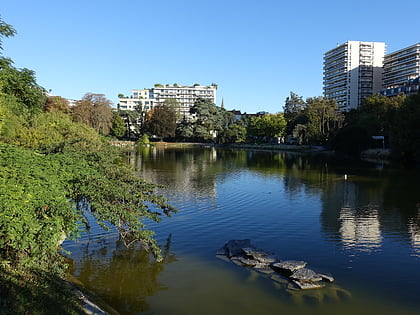
Nearby attractions include Les Olympiades, Paris (2 min walk), Place d'Italie, Paris (4 min walk), Parc de Choisy, Paris (5 min walk), 13th arrondissement of Paris, Paris (6 min walk).
How to get to Italie 13 by public transport?
The nearest stations to Italie 13:
Bus
Metro
Tram
Train
Bus
- Place d'Italie - Italie 2 • Lines: 47, N144, N15, N22 (2 min walk)
- Place d'Italie - Bobillot • Lines: 57, 67 (3 min walk)
Metro
- Place d'Italie • Lines: 5, 6, 7 (4 min walk)
- Tolbiac • Lines: 7 (6 min walk)
Tram
- Poterne des Peupliers • Lines: T3a (16 min walk)
- Porte d'Italie • Lines: T3a (19 min walk)
Train
- Gare d'Austerlitz (25 min walk)
- Cité Universitaire (25 min walk)
 Metro
Metro

