Pont Rouelle, Paris
Map
Gallery
Facts and practical information
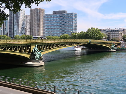
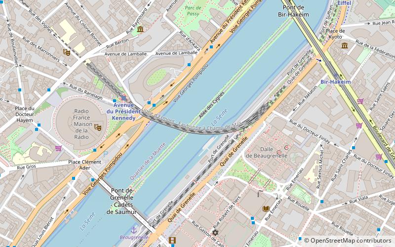
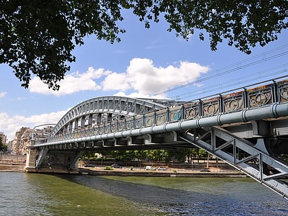
The Pont Rouelle is a railway bridge in Paris that crosses the river Seine. It connects the city's 15th and 16th arrondissements, and passes through the Île aux Cygnes. Constructed of steel, the bridge is 173 metres long and 20 metres wide. It is currently used for railway service, carrying the RER C. ()
Day trips
Pont Rouelle – popular in the area (distance from the attraction)
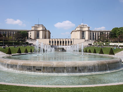
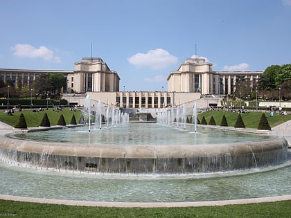
Nearby attractions include: Eiffel Tower, Champ de Mars, Jardins du Trocadéro, Beaugrenelle Paris shopping mall.
Frequently Asked Questions (FAQ)
Which popular attractions are close to Pont Rouelle?
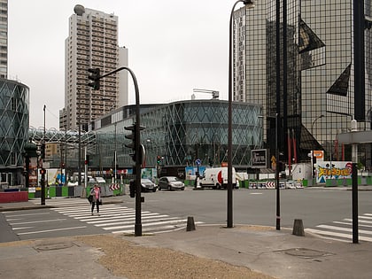
Nearby attractions include Cheminée du Front de Seine, Paris (5 min walk), Pont de Grenelle, Paris (6 min walk), Front de Seine, Paris (6 min walk), Maison de Balzac, Paris (6 min walk).
How to get to Pont Rouelle by public transport?
The nearest stations to Pont Rouelle:
Bus
Train
Ferry
Metro
Tram
Bus
- Radio France • Lines: 72 (4 min walk)
- Lamballe - Ankara • Lines: 72 (4 min walk)
Train
- Avenue du Président Kennedy (4 min walk)
- Champ de Mars - Tour Eiffel (11 min walk)
Ferry
- Beaugrenelle • Lines: Batobus (7 min walk)
- Tour-Eiffel • Lines: Batobus (18 min walk)
Metro
- Bir-Hakeim • Lines: 6 (8 min walk)
- Passy • Lines: 6 (10 min walk)
Tram
- Pont du Garigliano • Lines: T3a (30 min walk)
- Balard • Lines: T3a (30 min walk)
 Metro
Metro


