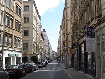
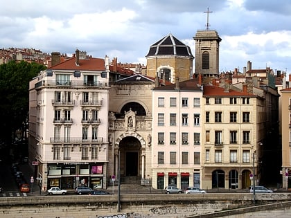
Rue Lainerie, Lyon
Map
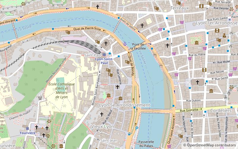
Map

Facts and practical information
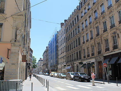
The Rue Lainerie is an ancient cobbled pedestrian street of the Vieux Lyon quarter, in the 5th arrondissement of Lyon. From north to south, it connects two quarters, Saint-Paul and Saint-Jean, and more precisely the Place du Change and the Place Saint-Paul. There is currently an academy of music at No. 1 and many hotels. The street is served by many buses, two metro stations and a velo'v station. It belongs to the zone classified as World Heritage Site by UNESCO. ()
Address
Arrondissement 5E (Vieux Lyon - Quarantaine)Lyon
ContactAdd
Social media
Add
Day trips
Rue Lainerie – popular in the area (distance from the attraction)
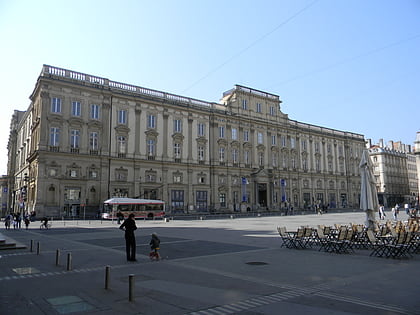
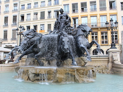
Nearby attractions include: St Jean Cathedral, Esplanade de Fourvière, Musée des Beaux-Arts de Lyon, Fontaine Bartholdi.
Frequently Asked Questions (FAQ)
Which popular attractions are close to Rue Lainerie?
Nearby attractions include Temple du Change, Lyon (2 min walk), Rue de Gadagne, Lyon (2 min walk), Salle Molière, Lyon (2 min walk), Saint-Paul, Lyon (3 min walk).
How to get to Rue Lainerie by public transport?
The nearest stations to Rue Lainerie:
Trolleybus
Bus
Train
Ferry
Metro
Tram
Trolleybus
- Gare Saint-Paul • Lines: C3 (2 min walk)
- Saint-Paul • Lines: C14 (3 min walk)
Bus
- Gare Saint-Paul • Lines: S1 (2 min walk)
- Saint-Paul • Lines: 19, 31, 40 (3 min walk)
Train
- Lyon-Saint-Paul (3 min walk)
- Fourvière (10 min walk)
Ferry
- Saint-Paul - Hôtel de Ville • Lines: Vaporetto (3 min walk)
- Bellecour • Lines: Vaporetto (10 min walk)
Metro
- Vieux Lyon - Cathédrale Saint-Jean • Lines: D (10 min walk)
- Cordeliers • Lines: A (11 min walk)
Tram
- Liberté • Lines: T1 (21 min walk)
- Saxe-Préfecture • Lines: T1 (23 min walk)

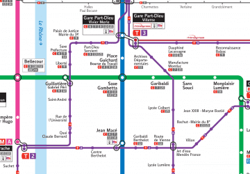 Metro
Metro
