Saint-Ouen, Paris
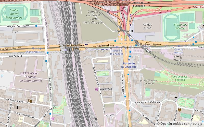
Map
Gallery

Facts and practical information
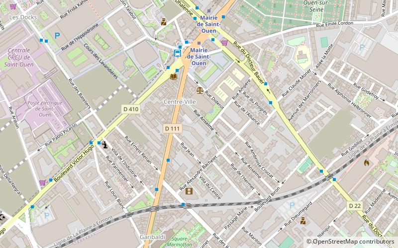
Saint-Ouen-sur-Seine is a commune in the Seine-Saint-Denis department in the Île-de-France region of France. It is located in the northern suburbs of Paris, 6.6 kilometres from the centre of Paris. The commune was officially called Saint-Ouen until 2018, when its name was changed by ministerial order. ()
Address
Saint-OuenParis
ContactAdd
Social media
Add
Day trips
Saint-Ouen – popular in the area (distance from the attraction)
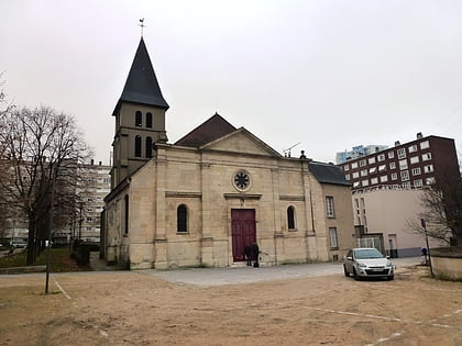
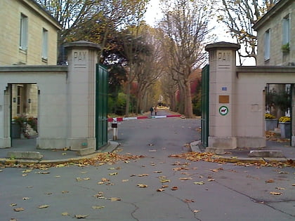
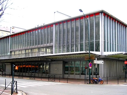
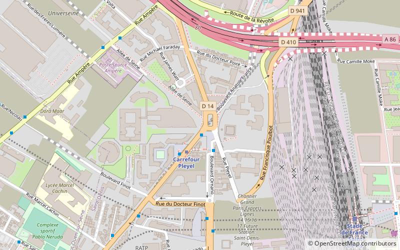
Nearby attractions include: Stade de Paris, Church of Saint-Ouen-le-Vieux, Saint-Ouen Cemetery, Rue Eva Kotchever.
Frequently Asked Questions (FAQ)
Which popular attractions are close to Saint-Ouen?
Nearby attractions include Church of Saint-Ouen-le-Vieux, Saint Denis (17 min walk), Saint-Ouen Cemetery, Saint Denis (18 min walk), Tour Pleyel, Saint Denis (22 min walk).
How to get to Saint-Ouen by public transport?
The nearest stations to Saint-Ouen:
Bus
Metro
Train
Tram
Bus
- Ernest Renan • Lines: 137, 85, L'Audonienne, N14, N44 (3 min walk)
- Mairie de Saint-Ouen-Métro • Lines: 137, 173, L'Audonienne (4 min walk)
Metro
- Mairie de Saint-Ouen • Lines: 13, 14 (5 min walk)
- Garibaldi • Lines: 13 (8 min walk)
Train
- Saint-Ouen (16 min walk)
- Stade de France Saint-Denis (24 min walk)
Tram
- Angélique Compoint • Lines: T3b (22 min walk)
- Épinettes-Pouchet • Lines: T3b (25 min walk)

 Metro
Metro
