Sannois, Paris

Gallery (4)
Map

Map
Gallery
Facts and practical information
Sannois is a commune in the northwestern suburbs of Paris, France. It is located 15.2 km. from the center of Paris, in the Val-d'Oise department in Île-de-France in northern France. ()
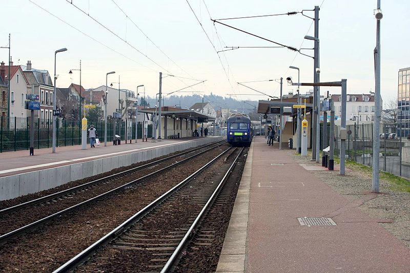
Getting there by public transportation
Public transportation stops near this location
- Bus
- Train
 Bus
Bus
- Calculate routeTouzelin 2 min walk
- Calculate routeAlexandre Ribot 4 min walk
- Calculate routePiretins - HDV 5 min walk
- Calculate routeMairie de Sannois 7 min walk
- Calculate routeSannois 14 min walk
- Calculate routeCernay 25 min walk
- Calculate routeErmont - Eaubonne 28 min walk
Maps Metro
Metro
MetroDay trips


Frequently Asked Questions (FAQ)
How to get to Sannois by public transport?
The nearest stations to Sannois:
Bus
Train
Bus
- Touzelin • Lines: 30-22, 30-42 (2 min walk)
- Alexandre Ribot • Lines: 30-22 (4 min walk)
Train
- Sannois (14 min walk)
- Cernay (25 min walk)