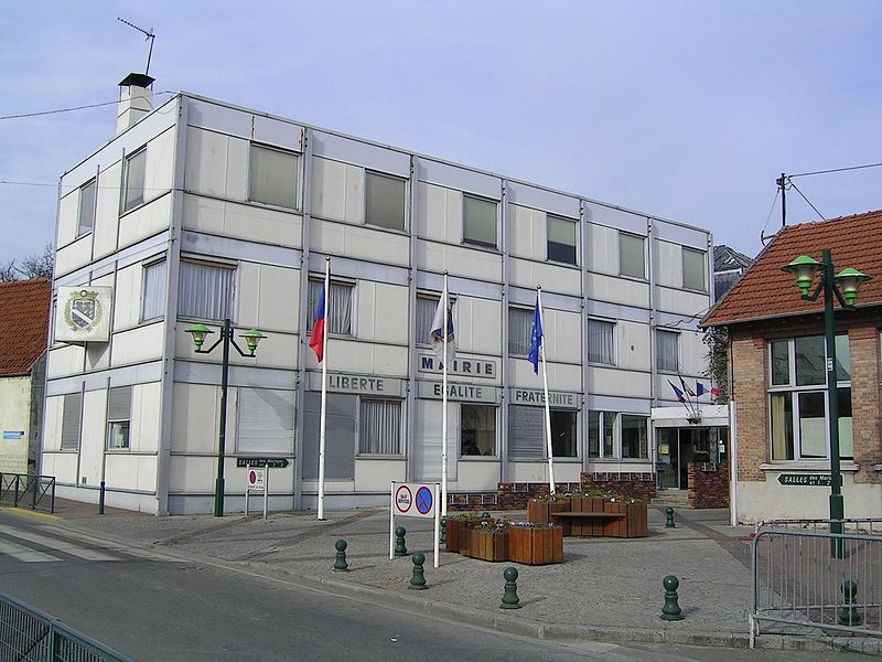
Sevran, Paris

Gallery (2)
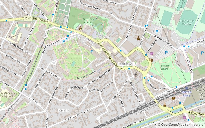
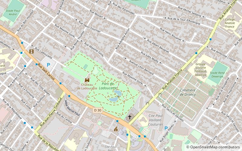
Map
Map
Gallery
Facts and practical information
Sevran is a commune in the French department of Seine-Saint-Denis, northeastern suburbs of Paris, Île-de-France. It is located 16.2 km from the center of Paris. ()
Getting there by public transportation
Public transportation stops near this location
- Bus
- Tram
- Train
 Bus
Bus
- Calculate routeGaston Bussière 3 min walk
- Calculate routeMère Teresa 5 min walk
- Calculate routeSportiss 5 min walk
- Calculate routeCimetière de Sevran 6 min walk
- Calculate routeSevran Livry 9 min walk
- Calculate routeSevran - Beaudottes 18 min walk
- Calculate routeRougemont - Chanteloup 19 min walk
- Calculate routeRougemont - Chanteloup 19 min walk
- Calculate routeFreinville - Sevran 22 min walk
- Calculate routeL'Abbaye 31 min walk
Maps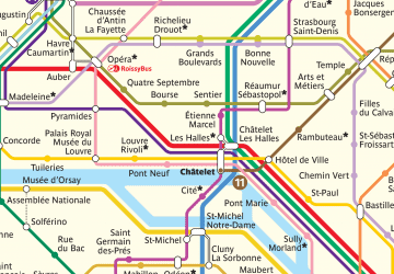 Metro
Metro
MetroDay trips


Frequently Asked Questions (FAQ)
How to get to Sevran by public transport?
The nearest stations to Sevran:
Bus
Train
Tram
Bus
- Gaston Bussière • Lines: 147, 43, 605, 618, Roissy Sud (3 min walk)
- Mère Teresa • Lines: 147, 618, Roissy Sud (5 min walk)
Train
- Sevran Livry (9 min walk)
- Sevran - Beaudottes (18 min walk)
Tram
- Rougemont - Chanteloup • Lines: T4 (19 min walk)
- Freinville - Sevran • Lines: T4 (22 min walk)