Aora’i, Tahiti
Map
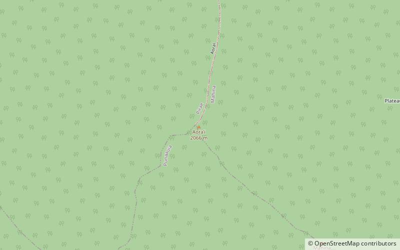
Map

Facts and practical information
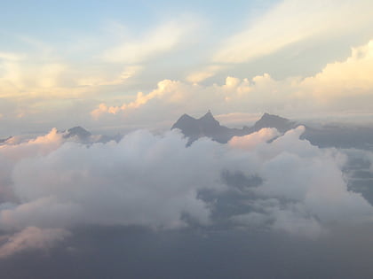
Aora’i is a place located in Tahiti (Îles du Vent administrative subdivisions) and belongs to the category of nature, mountain.
It is situated at an altitude of 6657 feet, and its geographical coordinates are 17°36'48"S latitude and 149°29'42"W longitude.
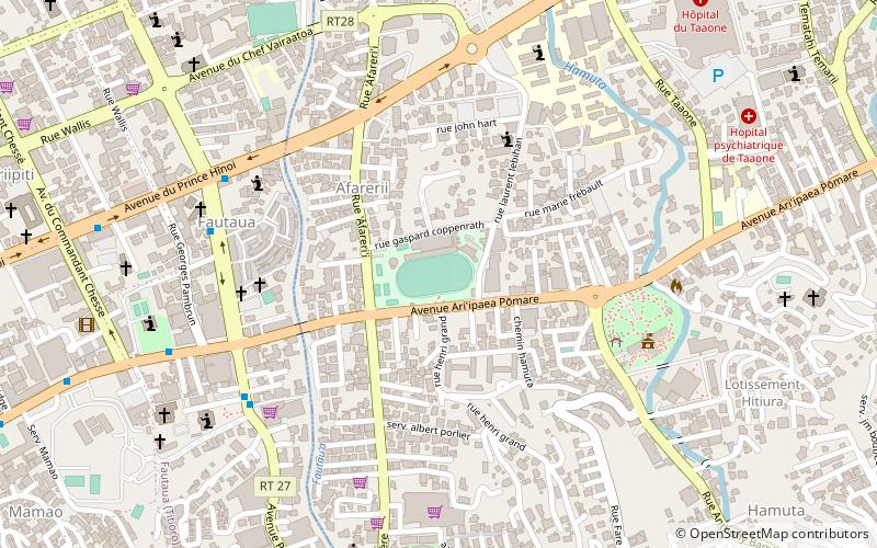
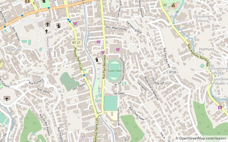
Among other places and attractions worth visiting in the area are: Mont Orohena (mountain, 35 min walk), Stade Pater Te Hono Nui (sport, 161 min walk), Stade Hamuta, Pirae (sport, 169 min walk).
Coordinates: 17°36'48"S, 149°29'42"W
Address
Tahiti
ContactAdd
Social media
Add
Day trips
Aora’i – popular in the area (distance from the attraction)
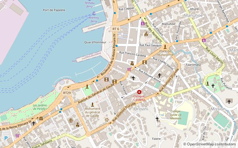
Nearby attractions include: Papeete Market, Notre Dame Cathedral, Mont Orohena, Papeete Tahiti Temple.


