Haapiti Rahi

Gallery (1)
Map
Map
Facts and practical information
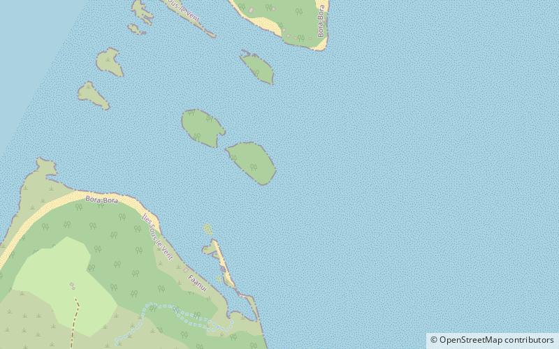
Haapiti Rahi, also known as Motu Haapiti Rahi, is a 3.5-acre private island in the lagoon of Bora Bora in French Polynesia. It is the located between Krisu, and Tevairoa, near Haapiti Iti. ()
Area: 4.94 acres (0.0077 mi²)Archipelago: Society IslandsCoordinates: 16°27'36"S, 151°46'12"W
Location
Îles Sous-le-Vent
ContactAdd
Social media
Add
Day trips


