Niumi National Park
Map

Map

Facts and practical information
Niumi National Park is a national park in The Gambia. The occupies the coastal strip in the northern region of the country, in the southern tip of the Sine-Saloum Delta. It covers an area of approximately 4,940 ha and encompasses a range of types of wetlands and vegetation, from freshwater marsh to sand spits and brackish lagoons. Rhizophora mangrove forest is abundant in the park, and its swamp and mudflats are an important sheltering ground for birds, with over 200 species found here. ()
Alternative names: Established: 1987 (39 years ago)Area: 1907.34 mi²Elevation: 7 ft a.s.l.Coordinates: 13°33'6"N, 16°30'34"W
Location
North Bank
ContactAdd
Social media
Add
Best Ways to Experience the Park
Wildlife
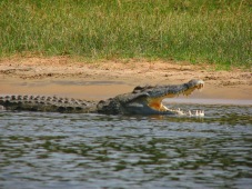
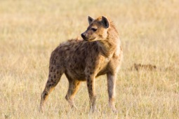
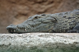
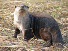
AnimalsSee what popular animal species you can meet in this location.
More
Show more


