Senegambian stone circles
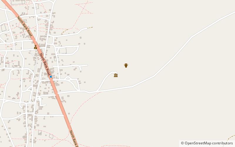
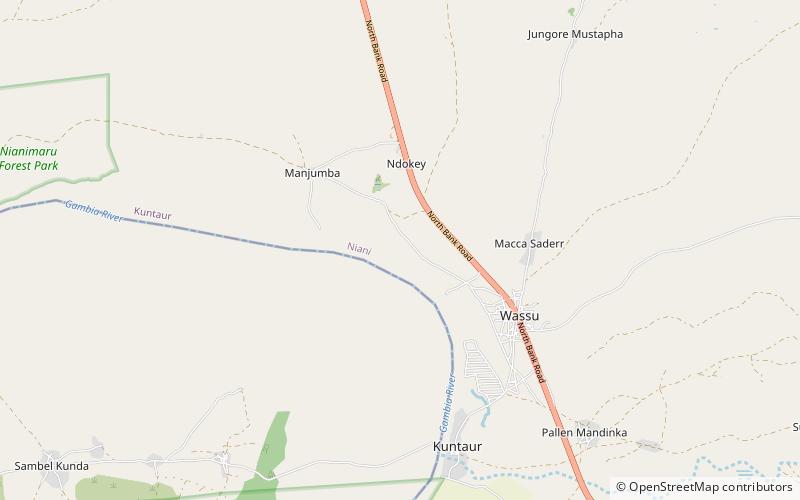
Map

Map

Facts and practical information
Senegambian stone circles (address: North Bank Road) is a place located in The Gambia and belongs to the category of ruins.
It is situated at an altitude of 59 feet, and its geographical coordinates are 13°41'28"N latitude and 14°52'25"W longitude.
Among other places and attractions worth visiting in the area are: Gassang Forest Park (park, 49 min walk).
Area: 62.49 acres (0.0976 mi²)Coordinates: 13°41'28"N, 14°52'25"W
Location
North Bank RoadMaccarthy Island
ContactAdd
Social media
Add
Day trips
Senegambian stone circles – popular in the area (distance from the attraction)
Nearby attractions include: Gassang Forest Park.

