Kanifing District, Serekunda
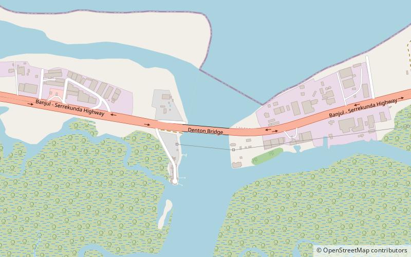
Map
Facts and practical information
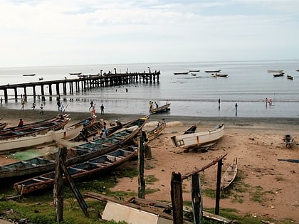
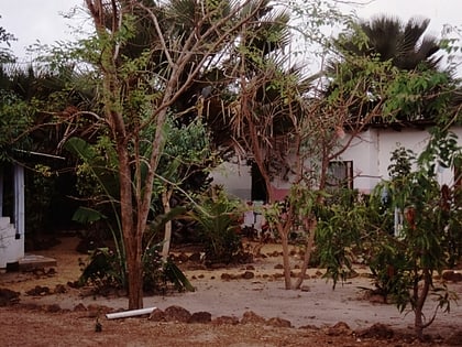
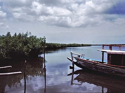
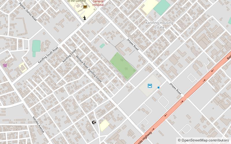
Kanifing is a town in the Gambia, and lies immediately west of the capital city of Banjul. ()
Address
Serekunda
ContactAdd
Social media
Add
Day trips
Kanifing District – popular in the area (distance from the attraction)
Nearby attractions include: Kachikally Crocodile Pool, Denton Bridge, Pipeline Mosque, Fajara.
Frequently Asked Questions (FAQ)
How to get to Kanifing District by public transport?
The nearest stations to Kanifing District:
Bus
Bus
- Green Bus Station (5 min walk)
- Green Bus • Lines: 66 (6 min walk)

