Keli Lake
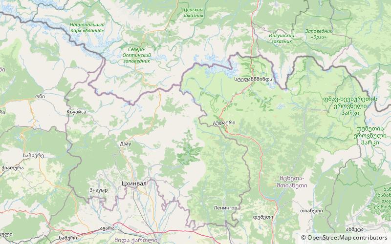
Map

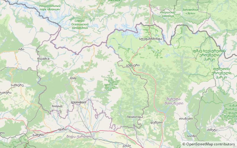
Map

Facts and practical information
Keli Lake is a volcanic-glacial lake in the Akhalgori Municipality, Mtskheta-Mtianeti region of Georgia. Located in Caucasus Mountains, in Keli Highland, at 2914 m above sea level. Stuck between Kharuli and Alevi ranges. The area of surface is 1.28 km², while the catchment area is 7.8 km². Average depth is 24,7 m, maximal depth is 63 m. Gets its feed from snow, rainfall and underground waters. River Ksani outflows from the Lake. Its water is clear. ()
Local name: ყელის ტბა Area: 0.49 mi²Maximum depth: 207 ftElevation: 9596 ft a.s.l.Coordinates: 42°28'39"N, 44°18'57"E
Location
Mtskheta-Mtianeti
ContactAdd
Social media
Add
Day trips
Keli Lake – popular in the area (distance from the attraction)
Nearby attractions include: Keli Highland, Tsiteli Khati.


