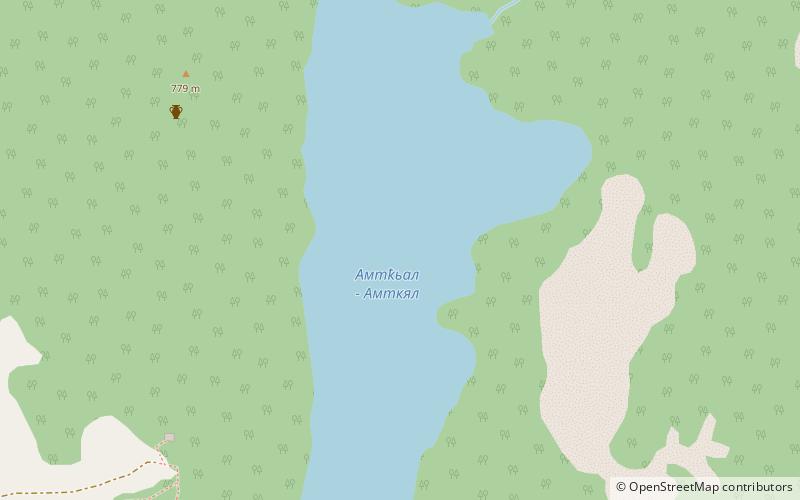
Lake Amtkeli
Map

Map

Facts and practical information
Lake Amtkeli or Amtkel is a lake in the Gulripshi District of Abkhazia, Georgia that was formed on 3 October 1891 when an earthquake caused a landslide on the south-western slope of Mt. little Shkhapach into the valley of the Amtkeli River. ()
Local name: ამტყელის ტბა Built: 3 October 1891 (134 years ago)Length: 7874 ftMaximum depth: 213 ftElevation: 1601 ft a.s.l.Coordinates: 43°5'38"N, 41°17'56"E
Location
Abkhazia
ContactAdd
Social media
Add
