Arabika Massif

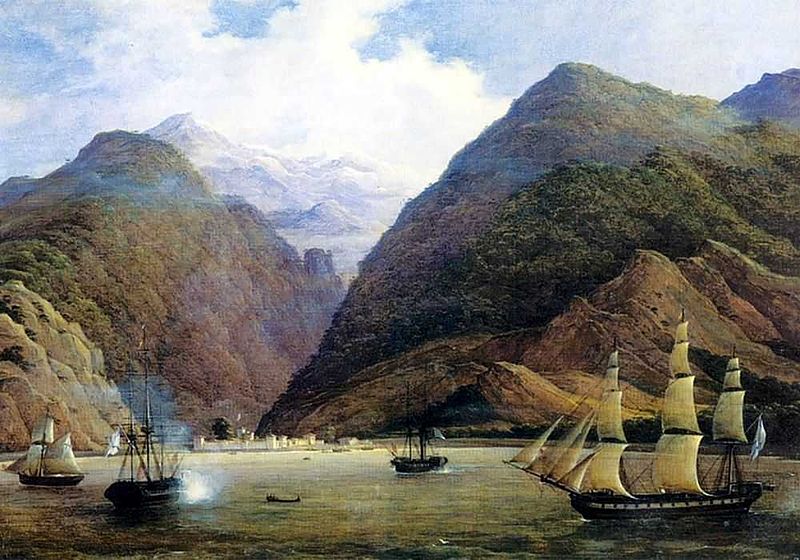
Gallery (2)
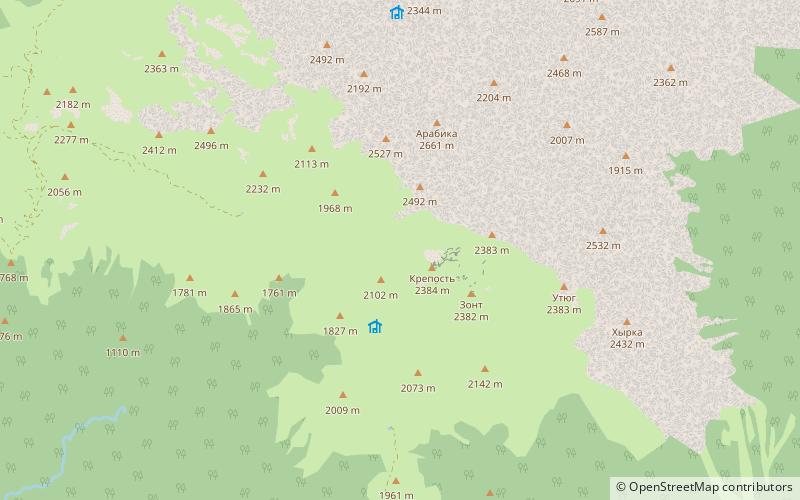
Map
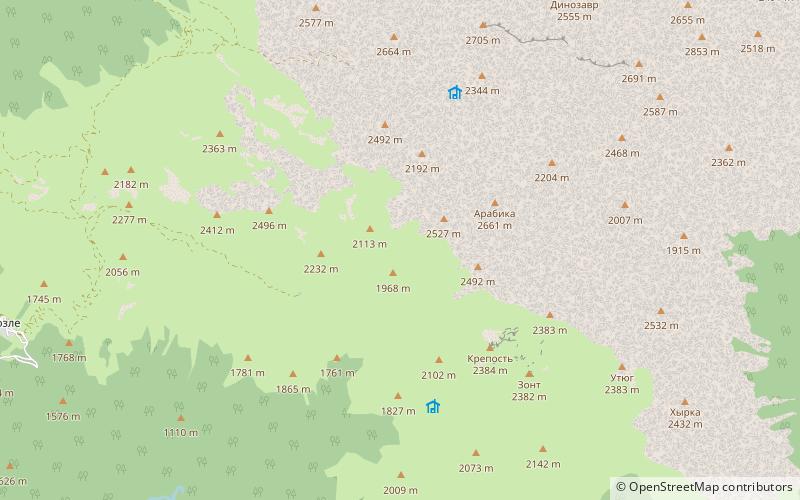
Map
Gallery
Facts and practical information
Arbaika Massif is a glacially eroded karst outcropping of the Gagra Range, Abkhazia in the West Caucasus, by the city of Gagra. The highest elevation - mountain Arabika is 2,656 metres. ()
Location
Abkhazia
ContactAdd
Social media
Add
Day trips