Shota Rustaveli Peak
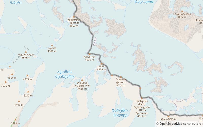
Map
Facts and practical information
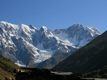
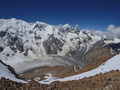
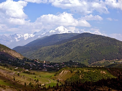
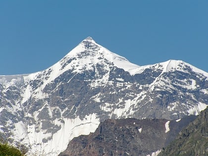
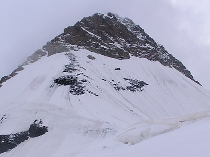
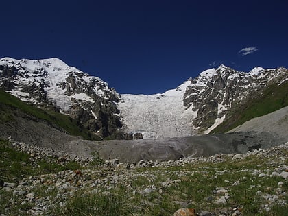
Shota Rustaveli is a mountain in the central part of the Greater Caucasus Mountain Range, straddling the border of Svaneti and Kabardino-Balkaria. The elevation of the mountain is 4,960 meters. Shota Rustaveli is generally considered to be the 9th highest peak of the Caucasus. The slopes of the mountain are glaciated and some of the glaciers descend well into the adjacent valleys. Its name comes from famous Georgian poet Shota Rustaveli. ()
Location
Samegrelo-Zemo Svaneti
ContactAdd
Social media
Add
Day trips
Shota Rustaveli Peak – popular in the area (distance from the attraction)
Nearby attractions include: Shkhara, Katyn-Tau, Tetnuldi, Gistola.
