Ambrolauri

Gallery (4)
Map

Map
Gallery
Facts and practical information
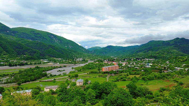
Ambrolauri is a city in Georgia, located in the northwestern part of the country, on both banks of the Rioni river, at an elevation of 550 m above sea level. The city serves as the seat of the Racha-Lechkhumi and Kvemo Svaneti regional administration and of the Ambrolauri Municipality and had a population of 2,015 in 2021. Its area is 2.8 km2. Ambrolauri was first recorded in the 17th century as a place, where one of the palaces of the kings of Imereti was located. It acquired the city status in 1966. ()
Location
Racha-Lechkhumi-Kvemo Svaneti
ContactAdd
Social media
Add
Day trips


