Atewa Range
Map

Map

Facts and practical information
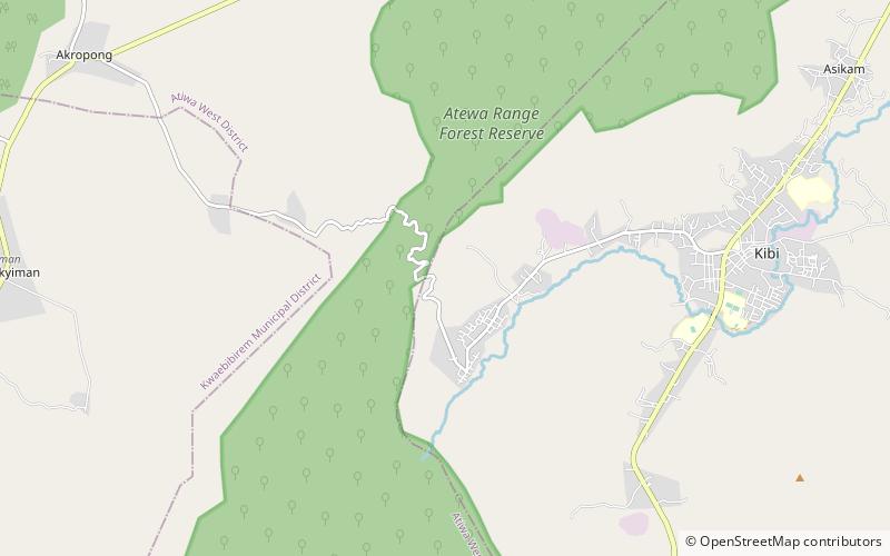
The Atewa Range is in the Akyem Abuakwa region of southeastern Ghana, near the town of Kibi, and south-west of the Kwahu Plateau which forms the south-west boundary of Lake Volta. The range runs roughly north-south, consisting of steep-sided hills with fairly flat summits. It is the last remains of the Cenozoic peneplain that once covered southern Ghana, and contains ancient bauxitic soils. The range is the site of an important forest reserve, and the source of three major rivers. ()
Location
Eastern
ContactAdd
Social media
Add
