Lower Volta Bridge
Map

Map

Facts and practical information
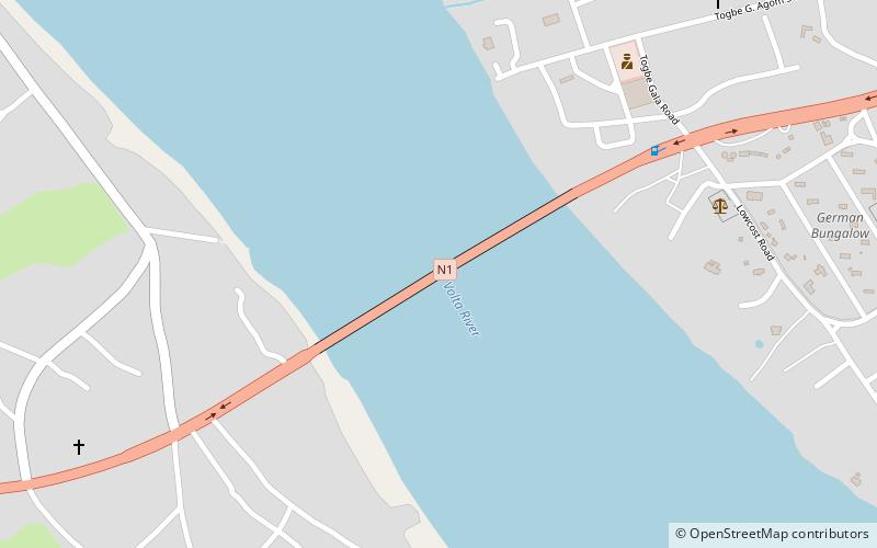
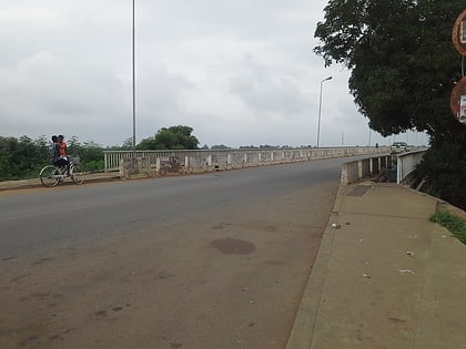
The Lower Volta Bridge, also known as Sogakope Bridge, is a 650 meter long bridge on the N1 highway that connects Sogakope to Sokpoe over the Volta River. ()
Coordinates: 5°59'42"N, 0°35'5"E
Location
Volta
ContactAdd
Social media
Add
