Fort Witsen

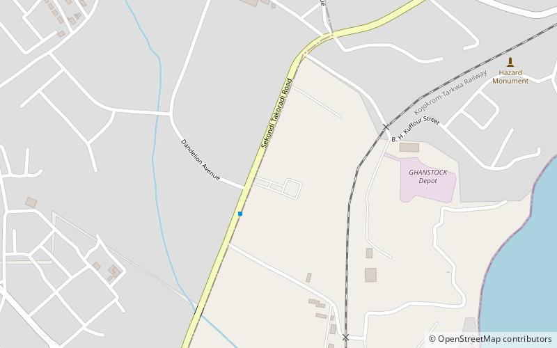
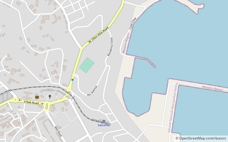
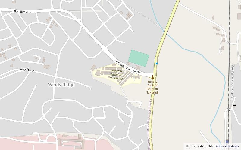
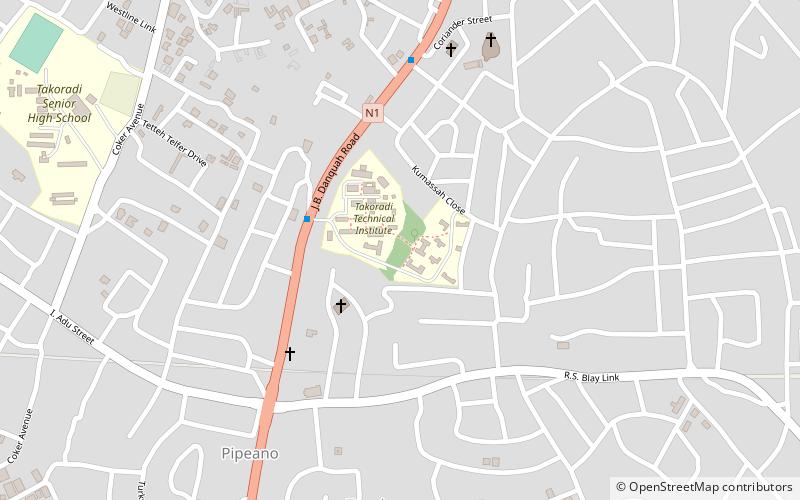
Map
Facts and practical information
Fort Witsen, also Fort Tacaray, was a fort on the Dutch Gold Coast, established in 1665 near Takoradi. This fort was destroyed after a few years, and in 1684 the site was abandoned. A map from 1791 shows, however, that the Dutch had renewed their presence in the fort again. The fort was handed over to Britain, along with the entire Dutch Gold Coast, on 6 April 1872, owing to the provisions of the Anglo-Dutch Treaties of 1870-1871. ()
Built: 1665 (361 years ago)Coordinates: 4°55'0"N, 1°44'60"W
Location
Western
ContactAdd
Social media
Add
Day trips
Fort Witsen – popular in the area (distance from the attraction)
Nearby attractions include: Market Circle, Fort Orange, Sekondi-Takoradi, Fort Sekondi.


