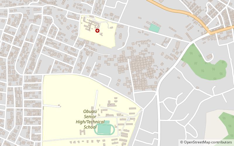
Obuasi East District, Obuasi

Map
Facts and practical information
Obuasi East District is one of the forty-three districts in Ashanti Region, Ghana. Originally it was formerly part of the then-larger Obuasi Municipal District on 17 February 2004; until part of the district was split off to create Obuasi East District on 15 March 2018; thus the remaining part has been retained as Obuasi Municipal District. The district assembly is the southern part of Ashanti Region and has Tutuka as its capital town. ()
Coordinates: 6°12'0"N, 1°40'60"W
Address
Obuasi
ContactAdd
Social media
Add
Day trips
Obuasi East District – popular in the area (distance from the attraction)
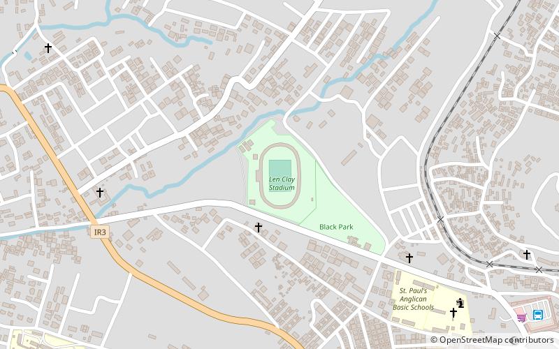
Nearby attractions include: Adansi West District, Len Clay Stadium, Obuasi Municipal District.
Frequently Asked Questions (FAQ)
Which popular attractions are close to Obuasi East District?
Nearby attractions include Obuasi Municipal District, Obuasi (1 min walk), Adansi West District, Obuasi (1 min walk).
