Oforikrom Municipal District, Kumasi
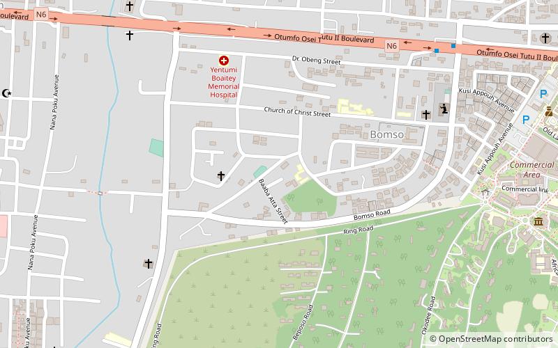
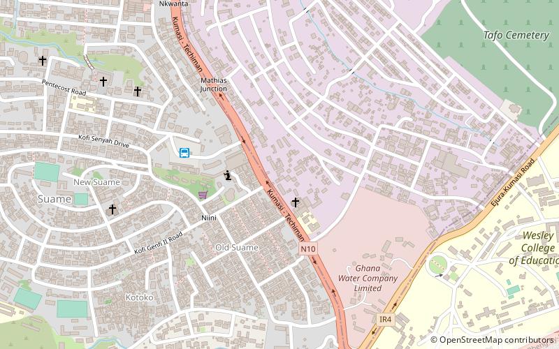
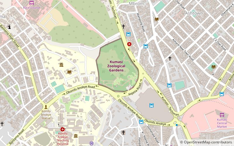
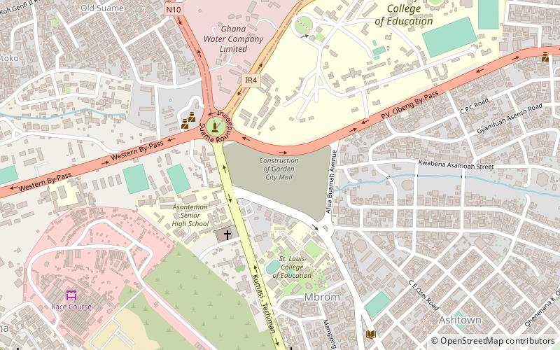
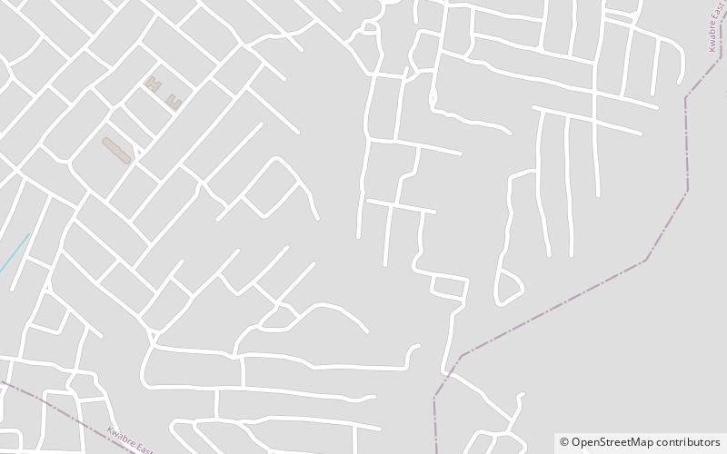
Map
Facts and practical information
Oforikrom Municipal District is one of the forty-three districts in Ashanti Region, Ghana. Originally it was a sub-metropolitan district council within the Kumasi Metropolitan Assembly until 15 March 2018, when it was elevated to municipal district assembly status to become Oforikrom Municipal District. The municipality is located in the central part of Ashanti Region and has Oforikrom as its capital town. ()
Coordinates: 6°40'60"N, 1°34'60"W
Address
Kumasi
ContactAdd
Social media
Add
Day trips
Oforikrom Municipal District – popular in the area (distance from the attraction)
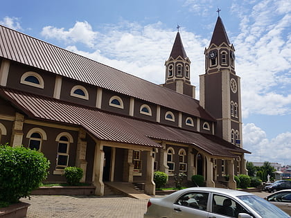
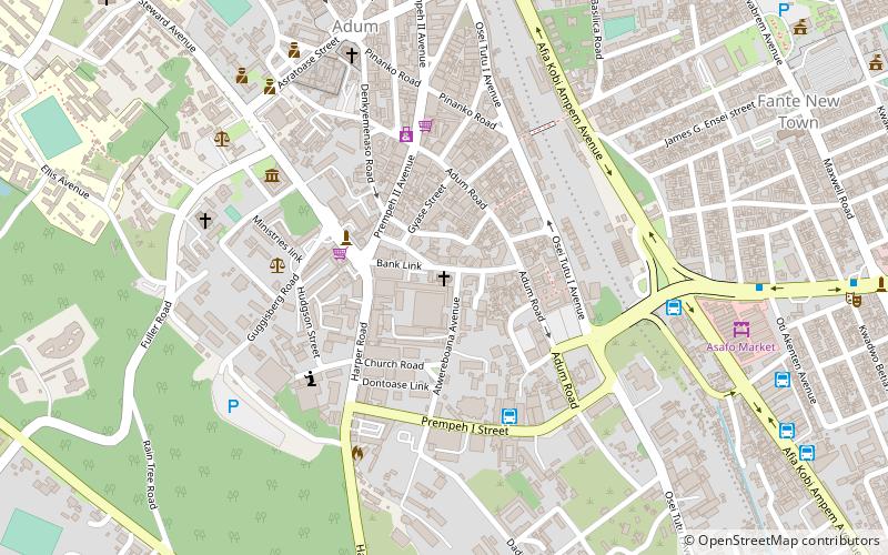
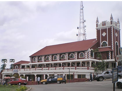
Nearby attractions include: St Peter's Cathedral Basilica, Asafo market, Ramseyer Memorial Presbyterian Church, Manhyia Palace.
Frequently Asked Questions (FAQ)
How to get to Oforikrom Municipal District by public transport?
The nearest stations to Oforikrom Municipal District:
Bus
Bus
- Brunei Bus Stop (28 min walk)
