Lake Karla
Map

Map

Facts and practical information
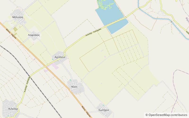
Lake Karla is a former lake that sits at 60 to 80 m above sea level making it the only one in the plain of Thessaly. The lake is located at the northern end of the Magnesia regional unit in the Pineios basin, adjacent to Pelion and the Maurovouni mountains. On the eastern part of the lake the lies the town of Kanalia. ()
Local name: Λίμνη Κάρλα Length: 15.53 miWidth: 28.58 miMaximum depth: 66 ftElevation: 161 ft a.s.l.Coordinates: 39°31'60"N, 22°42'0"E
Location
Thessaly and Central Greece
ContactAdd
Social media
Add
Day trips
Lake Karla – popular in the area (distance from the attraction)
Nearby attractions include: Armenio.

