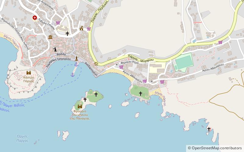
Anchor, Parga
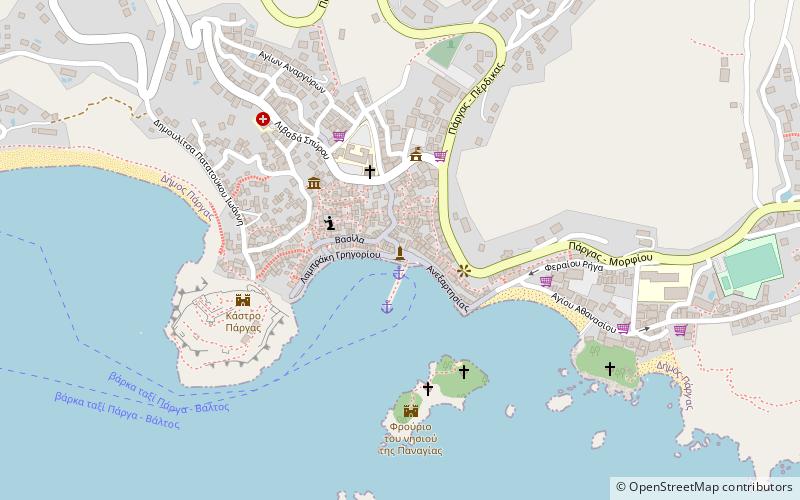
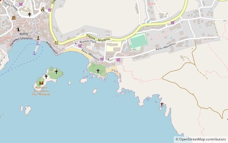
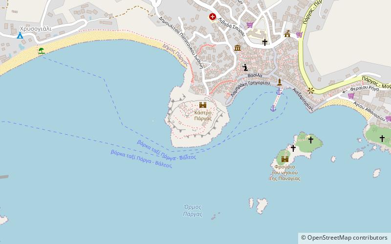
Map
Facts and practical information
Anchor is a place located in Parga (Epirus and Western Macedonia decentralized administration) and belongs to the category of memorial.
It is situated at an altitude of 23 feet, and its geographical coordinates are 39°17'2"N latitude and 20°24'5"E longitude.
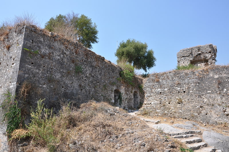
Among other places and attractions worth visiting in the area are: Krioneri Beach (beach, 5 min walk), Parga Castle (forts and castles, 5 min walk), Venetian castle (forts and castles, 6 min walk).
Coordinates: 39°17'2"N, 20°24'5"E
Address
Parga
ContactAdd
Social media
Add
Day trips
Anchor – popular in the area (distance from the attraction)
Nearby attractions include: Parga Castle, Krioneri Beach, Piso Krioneri Beach, Venetian castle.
Frequently Asked Questions (FAQ)
Which popular attractions are close to Anchor?
Nearby attractions include Krioneri Beach, Parga (5 min walk), Parga Castle, Parga (5 min walk), Venetian castle, Parga (6 min walk), Piso Krioneri Beach, Parga (9 min walk).