Flampouro

Map
Facts and practical information
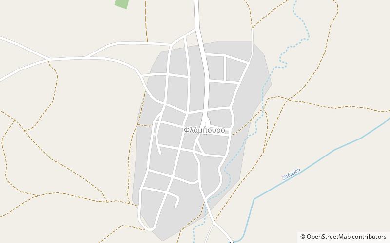
Flampouro is a village and a community of the Elassona municipality. Before the 2011 local government reform it was a part of the municipality of Olympos. The 2011 census recorded 177 inhabitants in the village and 273 inhabitants in the community. The community of Flampouro covers an area of 58.72 km2. ()
Coordinates: 39°58'14"N, 22°15'11"E
Location
Thessaly and Central Greece
ContactAdd
Social media
Add
Day trips
Flampouro – popular in the area (distance from the attraction)
Nearby attractions include: Elassona Mosque, Panagia Olympiotissa Monastery, Agia Triada Monastery, Kokkinogeio.


