Cyclades
Map

Map

Facts and practical information
The Cyclades are an island group in the Aegean Sea, southeast of mainland Greece and a former administrative prefecture of Greece. They are one of the island groups which constitute the Aegean archipelago. The name refers to the islands around the sacred island of Delos. The largest island of the Cyclades is Naxos, however the most populated is Syros. ()
Local name: Κυκλάδες Established: 1833 (193 years ago)Area: 993.05 mi²Coordinates: 37°0'0"N, 25°6'13"E
Location
Aegean
ContactAdd
Social media
Add
Day trips
Cyclades – popular in the area (distance from the attraction)
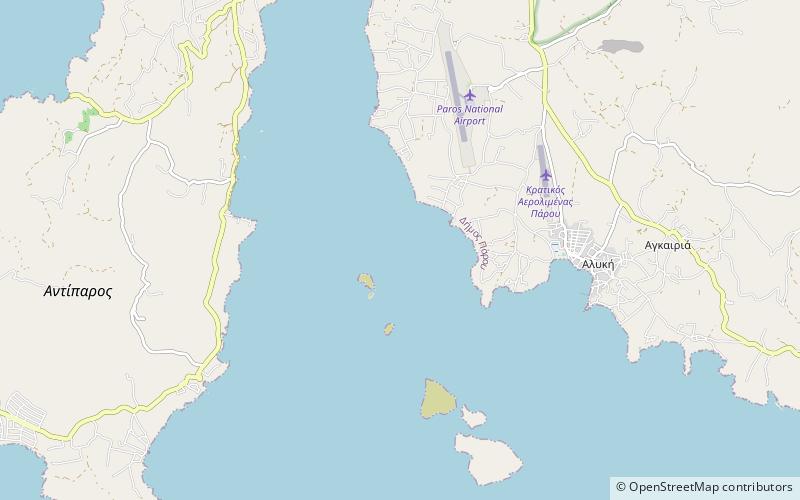
Nearby attractions include: Antiparos, Tsimintiri, Saliagos.


