Tymfi, Vikos–Aoös National Park

Gallery (3)
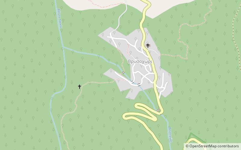
Map
Map
Gallery
Facts and practical information
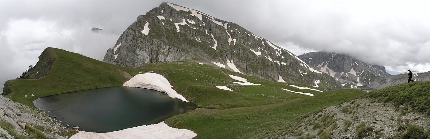
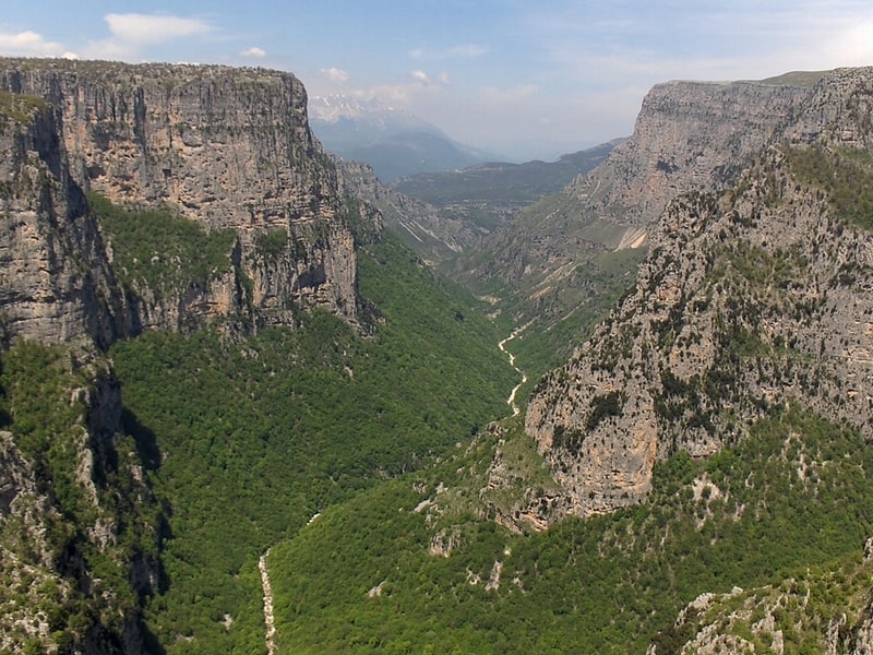
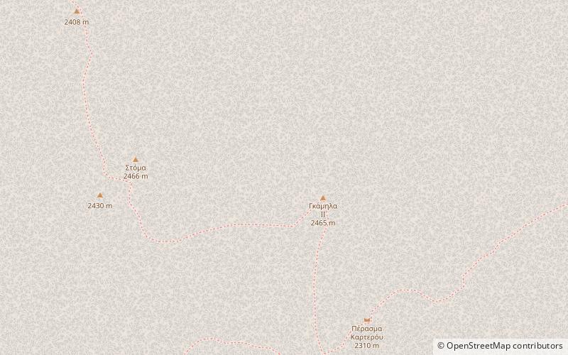
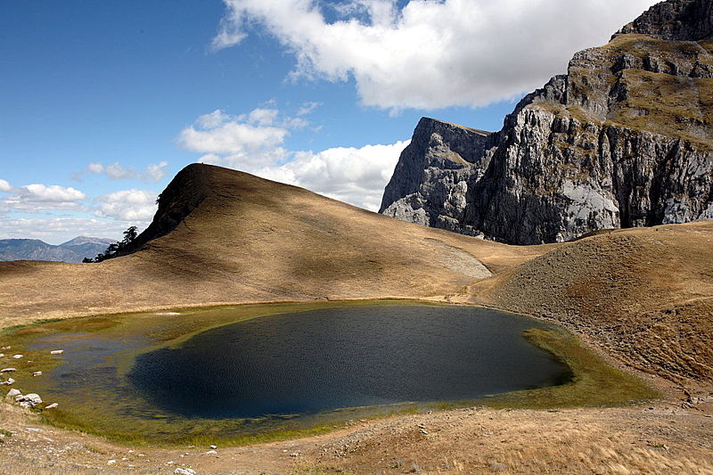
Tymfi or Tymphe, Timfi, also Tymphi is a mountain in the northern Pindus mountain range, northwestern Greece. It is part of the regional unit of Ioannina and lies in the region of Zagori, just a few metres south of the 40° parallel. Tymfi forms a massif with its highest peak, Gamila, at 2,497 m. ()
Local name: Τύμφη First ascent: 1956Elevation: 8192 ftProminence: 4154 ftCoordinates: 39°58'54"N, 20°48'54"E
Address
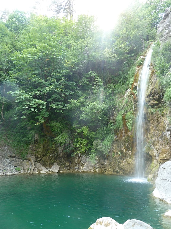
Vikos–Aoös National Park
ContactAdd
Social media
Add
Day trips