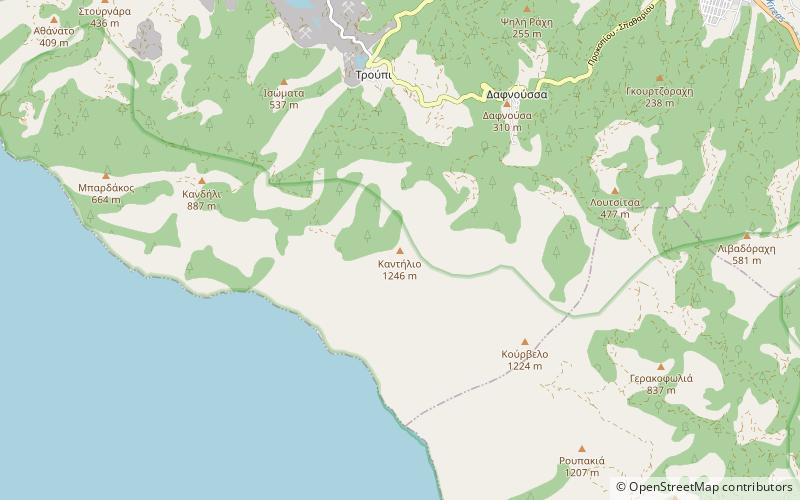
Kantili, Euboea
Map

Map

Facts and practical information
Kantili is a mountain range in the northwestern part of the island of Euboea in Greece. Its maximum elevation is 1,246 m. It stretches along the west coast of the island, above the shore of the North Euboean Gulf, between Limni and Politika. Its length is about 25 km from southeast to northwest. The slope towards the sea is very steep, and there is no road along the coast. The Greek National Road 77 passes east of the mountains. ()
Local name: Καντήλιο όροςElevation: 4088 ftCoordinates: 38°41'57"N, 23°26'7"E
Address
Euboea
ContactAdd
Social media
Add
Day trips
Kantili – popular in the area (distance from the attraction)
Nearby attractions include: Church of Saint John the Russian.

