Kaminia
Map

Map

Facts and practical information
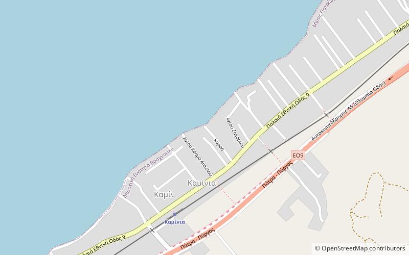
Kaminia is a village in Achaea, Greece. It is part of the municipal unit of Vrachnaiika. Kaminia is situated on the Ionian Sea coast, 15 km southwest of Patras, and 6 km east of Kato Achaia. Since the 1980s, the village is bypassed by Greek National Road 9. Kaminia had a small train station on the currently unexploited Patras–Pyrgos railway. ()
Location
Peloponnese, Western Greece and the Ionian Islands
ContactAdd
Social media
Add
Day trips
Kaminia – popular in the area (distance from the attraction)
Nearby attractions include: Mintilogli, Niforeika, Paralia, Kato Achaia.


