Tagarades

Map
Facts and practical information
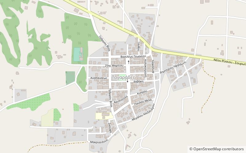
Tagarades is a village and a community of the Thermi municipality. Before the 2011 local government reform it was part of the municipality of Thermi, of which it was a municipal district. The 2011 census recorded 2,088 inhabitants in the village. The community of Tagarades covers an area of 15.325 km2. ()
Local name: ΤαγαράδεςCoordinates: 40°29'20"N, 23°1'19"E
Location
Macedonia and Thrace
ContactAdd
Social media
Add
Day trips
Tagarades – popular in the area (distance from the attraction)
Nearby attractions include: Waterland, Mediterranean Cosmos, Noesis, Thermi.


