Aigaleo, Athens

Gallery (2)
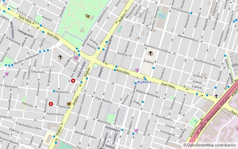
Map

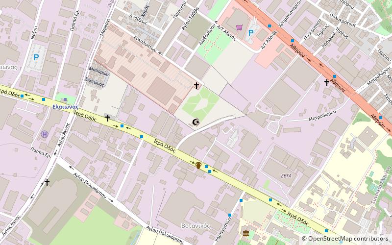
Map
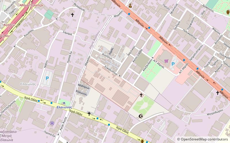
Gallery
Facts and practical information
Aigaleo or Egaleo is a suburban municipality in the western part of Athens. It takes its name from Mount Aigaleo. Its population was 69,946 at the 2011 census. ()
Getting there by public transportation
Public transportation stops near this location
- Metro
- Bus
- Trolleybus
 Metro
Metro
- Calculate routeΓεωργιοσ Ζαμπετασ 1 min walk
- Calculate routeΕσταυρωμενοσ 3 min walk
- Calculate routeΜποτσαρη 3 min walk
- Calculate routeΧρ.σμυρνησ 3 min walk
- Calculate routeEgaleo 3 min walk
- Calculate routeAgia Marina 21 min walk
- Calculate routeEleonas 21 min walk
- Calculate routeAgia Varvara 29 min walk
- Calculate routeΜαρμαραδικα 27 min walk
- Calculate routeΟαεδ 27 min walk
- Calculate routeΕργατικεσ Πολυκατοικιεσ 28 min walk
Day trips


Frequently Asked Questions (FAQ)
How to get to Aigaleo by public transport?
The nearest stations to Aigaleo:
Bus
Metro
Trolleybus
Bus
- Γεωργιοσ Ζαμπετασ • Lines: 750, 803, 806, 813, 820, 836, Α16 (1 min walk)
- Εσταυρωμενοσ • Lines: 750, 803, 806, 813, 820, 836, 856, Α16 (3 min walk)
Metro
- Egaleo • Lines: Μ3 (3 min walk)
- Agia Marina • Lines: Μ3 (21 min walk)
Trolleybus
- Μαρμαραδικα • Lines: 21 (27 min walk)
- Οαεδ • Lines: 21 (27 min walk)