Galatsi, Athens
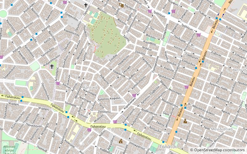
Map

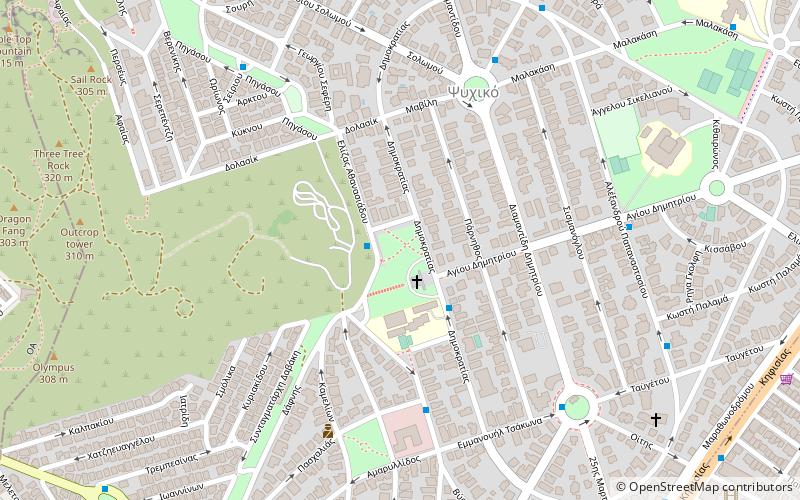
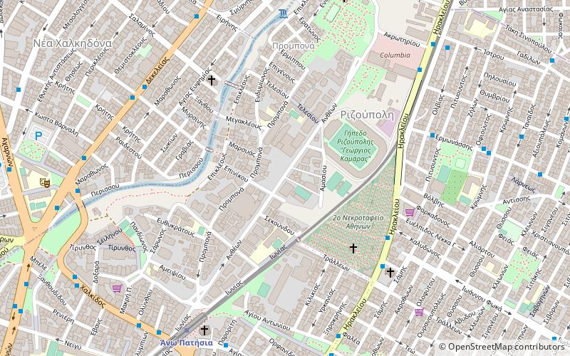
Map

Facts and practical information
Galatsi, called in Katharevousa Galatsion, is a northern suburb of Athens, Greece, and a municipality of the Attica region. The municipality has an area of 4.026 km2. Until the mid-20th century, the area was mainly made up of farmlands but due to the continuous expansion of the Greek capital, Galatsi was rapidly urbanised and has come to lie in the center of the Athens agglomeration. ()
Day trips
Galatsi – popular in the area (distance from the attraction)
Nearby attractions include: Tourkovounia, Nea Filadelfeia, Church of Saint Panteleimon of Acharnai, Nea Ionia.
Frequently Asked Questions (FAQ)
Which popular attractions are close to Galatsi?
Nearby attractions include Kypriadou, Athens (14 min walk), Lophos Elikonas, Athens (18 min walk).
How to get to Galatsi by public transport?
The nearest stations to Galatsi:
Bus
Trolleybus
Metro
Bus
- Συκια • Lines: 444, 608 (5 min walk)
- Μαυρογενουσ • Lines: 444, 608 (7 min walk)
Trolleybus
- Φουρνοσ • Lines: 14, 5 (8 min walk)
- Αγιοσ Νικολαοσ • Lines: 14, 5 (8 min walk)
Metro
- Ano Patisia • Lines: Μ1 (24 min walk)
- Agios Eleftherios • Lines: Μ1 (27 min walk)


