Agioi Anargyroi, Athens
Map
Map

Facts and practical information
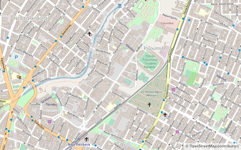
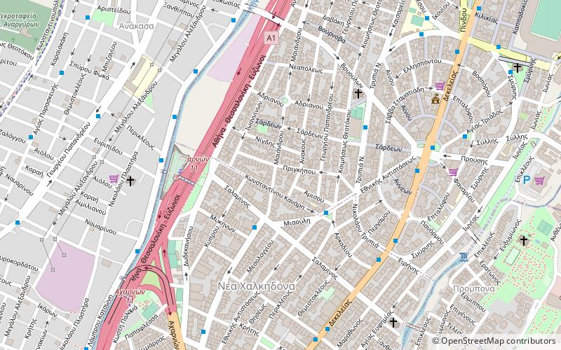
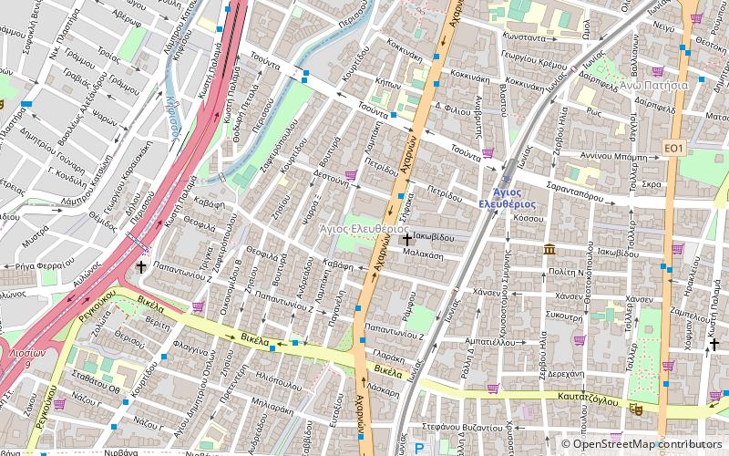
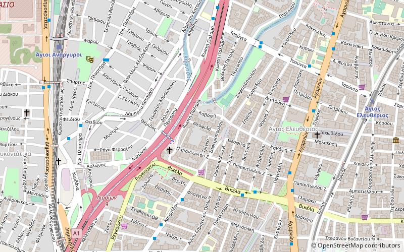
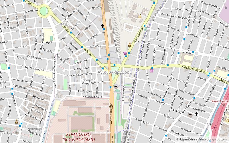
Agioi Anargyroi is a suburb in the north-central part of the Athens agglomeration, Greece. It takes its name from the "Holy Unmercenaries": saints who received no payment for their medical services. Since the 2011 local government reform it is part of the municipality Agioi Anargyroi-Kamatero, of which it is the seat and a municipal unit. ()
Day trips
Agioi Anargyroi – popular in the area (distance from the attraction)
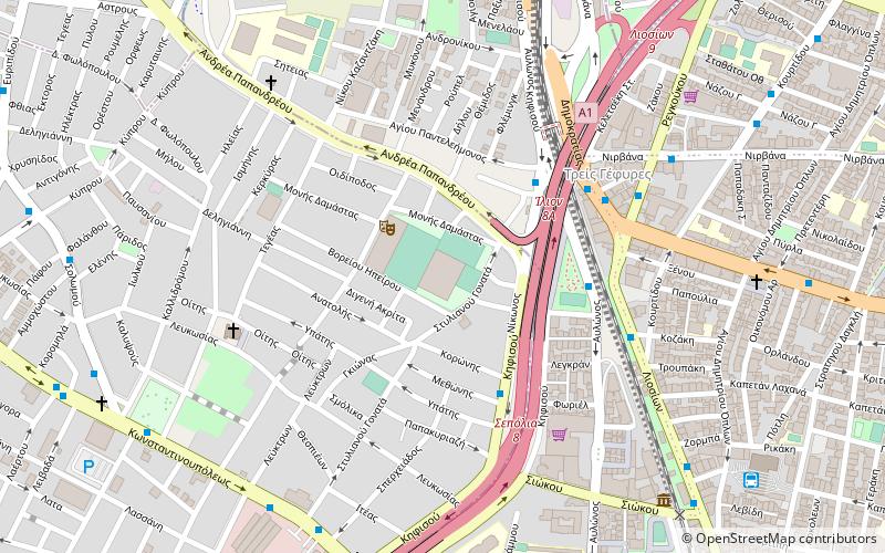
Nearby attractions include: Railway Museum of Athens, Nea Filadelfeia, Ilion, Rizoupoli.
Frequently Asked Questions (FAQ)
Which popular attractions are close to Agioi Anargyroi?
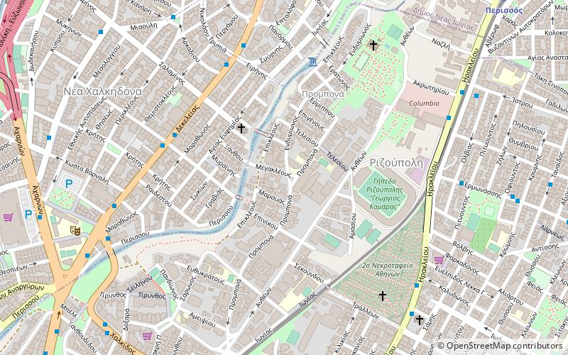
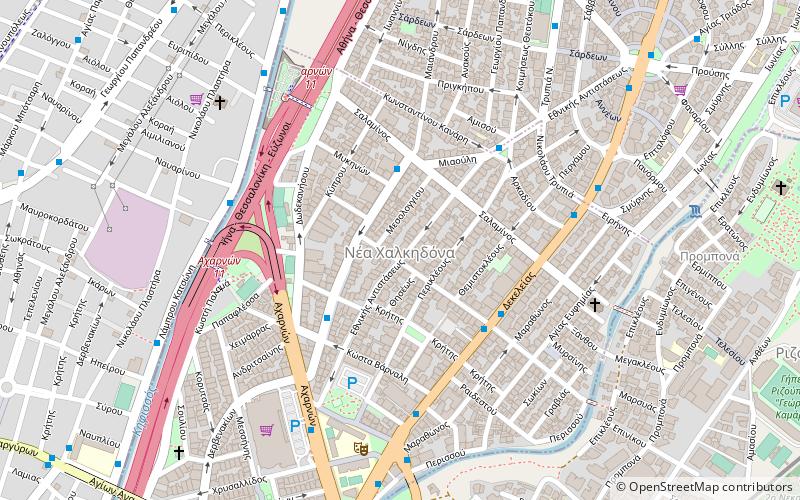
Nearby attractions include Treis Gefyres, Athens (17 min walk), Agios Eleftherios, Athens (21 min walk), Nea Chalkidona, Athens (22 min walk).
How to get to Agioi Anargyroi by public transport?
The nearest stations to Agioi Anargyroi:
Bus
Train
Trolleybus
Metro
Bus
- Πλατεια Αγιων Αναργυρων • Lines: 420, 703, 704, 711, 719, 735, 892, Α10, Β10, Γ12 (1 min walk)
- Αγιων Αναργυρων • Lines: 420, 703, 711, 719, 735, 892, Α10, Α11, Β10, Β11, Β12, Γ12 (2 min walk)
Train
- Agii Anargyri (10 min walk)
- Pirgos Vasilisis (26 min walk)
Trolleybus
- Στροφη • Lines: 6 (19 min walk)
- Κοκκινακη • Lines: 6 (20 min walk)
Metro
- Agios Eleftherios • Lines: Μ1 (23 min walk)
- Ano Patisia • Lines: Μ1 (26 min walk)


