Vourinos
Map

Map

Facts and practical information
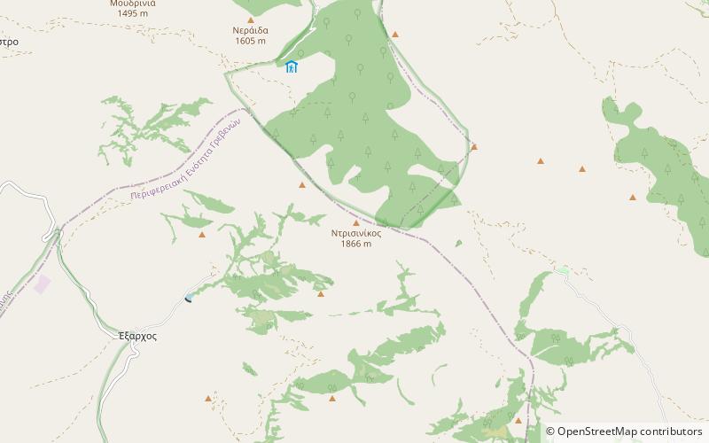
Vourinos is a mountain range covering the eastern Grevena and southern Kozani regional units in Greece. Its highest elevation is 1,866 metres. Its length is approximately 30 km from northwest to southeast. It is drained by the river Aliakmonas and its tributaries. There are forests on the northern slopes and the lower areas, the higher elevations are covered with grasslands. The nearest mountain ranges are Askio to the north and Kamvounia to the southeast. ()
Location
Epirus and Western Macedonia
ContactAdd
Social media
Add
Day trips
Vourinos – popular in the area (distance from the attraction)
Nearby attractions include: Museum of the Macedonian Struggle, Metamorfosi, Protochori.


