Zagora

Gallery (1)
Map
Map
Facts and practical information
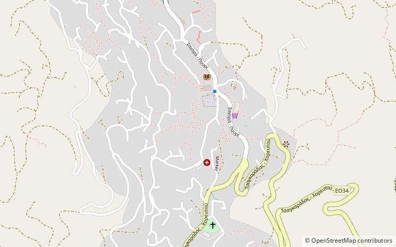
Zagora is a village and a former municipality on the Pelion peninsula in Magnesia, Thessaly, Greece. Since the 2011 local government reform it is part of the municipality Zagora-Mouresi, of which it is the seat and a municipal unit. The municipal unit has an area of 96.101 km2. ()
Location
Thessaly and Central Greece
ContactAdd
Social media
Add
Day trips


