City of Athens Cultural Center, Athens
Map
Facts and practical information
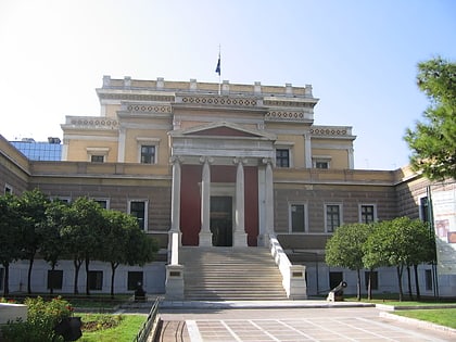
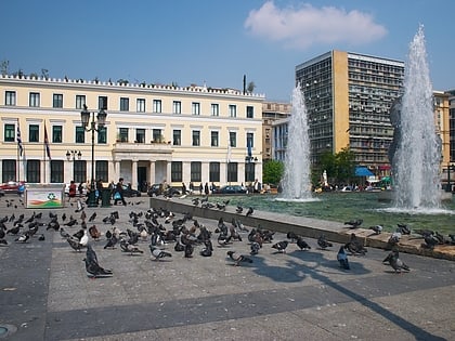
The City of Athens Cultural Center is the cultural center of the Municipality of Athens, in Greece. It is housed in an 1836 neoclassical building in the center of Athens. Originally the building housed the Municipal Hospital. It includes three exhibition rooms, the Fotis Kontoglou, Georgios Iakovidis and Nikolaos Gyzis halls, as well as the Antonis Tritsis amphitheatre, which holds various interdisciplinary seminars, conferences and other events. ()
Coordinates: 37°58'53"N, 23°44'7"E
Address
Αθήνα 1 (Πευκάκια)Athens
ContactAdd
Social media
Add
Day trips
City of Athens Cultural Center – popular in the area (distance from the attraction)
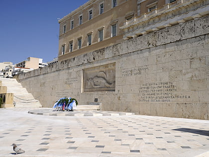
Nearby attractions include: Voukourestiou Street, Ermou Street, Benaki Museum, Tomb of the Unknown Soldier.
Frequently Asked Questions (FAQ)
Which popular attractions are close to City of Athens Cultural Center?
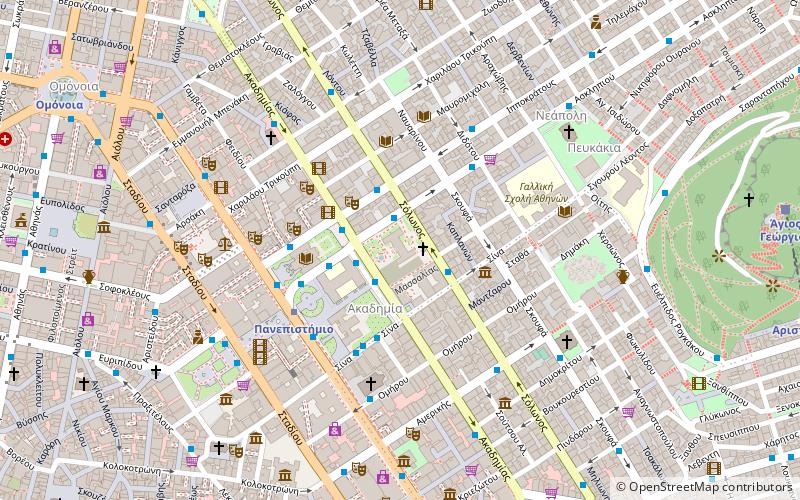
Nearby attractions include Theatrical Museum of Greece, Athens (1 min walk), Parko Ellenon Logotechnon, Athens (1 min walk), Akadimias Street, Athens (2 min walk), Akadimia, Athens (2 min walk).
How to get to City of Athens Cultural Center by public transport?
The nearest stations to City of Athens Cultural Center:
Bus
Trolleybus
Metro
Train
Tram
Bus
- Σολωνοσ • Lines: 025 (1 min walk)
- Ακαδημιασ • Lines: 025, 100, 203, 214 (2 min walk)
Trolleybus
- Ακαδημιασ • Lines: 3 (2 min walk)
- Ιπποκρατουσ • Lines: 6 (4 min walk)
Metro
- Panepistimio • Lines: Μ2 (4 min walk)
- Syntagma • Lines: Μ2, Μ3 (11 min walk)
Train
- Lycabettus Hill Funicular - Top Station (12 min walk)
- Lycabettus Hill Funicular - Lower Station (13 min walk)
Tram
- Syntagma • Lines: Τ4, Τ5 (13 min walk)
- Ζαππειο • Lines: Τ4, Τ5 (22 min walk)

