Dia Island
Map

Map

Facts and practical information
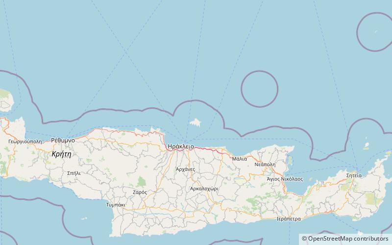
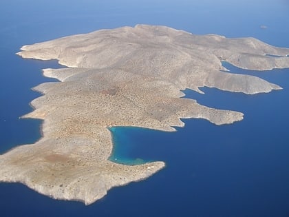
Dia, also pronounced locally Ntia, is an uninhabited island off the northern coast of the Greek island of Crete. The island is 5 km long, 3 km wide and is located approximately 7 nautical miles north of Heraklion. Administratively, Dia is part of the community of Elia within the municipal unit of Gouves, Hersonissos municipality in Heraklion. ()
Local name: Δία Ηρακλείου Area: 4.6 mi²Maximum elevation: 722 ftArchipelago: Cretan IslandsCoordinates: 35°26'49"N, 25°13'8"E
Location
Crete
ContactAdd
Social media
Add
Day trips
Dia Island – popular in the area (distance from the attraction)
Nearby attractions include: Paximadi.

